Lodi in San Joaquin County, California — The American West (Pacific Coastal)
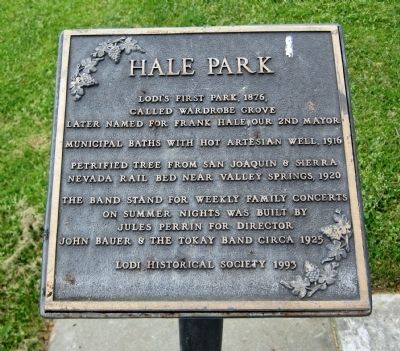
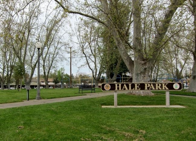
Hale Park
called Wardrobe Grove
Later named for Frank Hale, our 2nd mayor
Municipal baths with hot artesian well, 1916
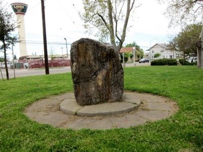
Petrified tree from San Joaquin & Sierra
Nevada rail bed near Valley Springs, 1920
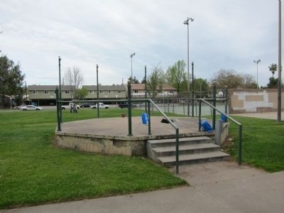
The bandstand for weekly family concerts
on summer nights was built by
Jules Perrin for Director
John Bauer & The Tokay Band, circa 1925
Lodi Historical Society 1993
Erected 1993 by Lodi Historical Society.
Topics. This historical marker is listed in this topic list: Notable Places. A significant historical year for this entry is 1876.
Location. 38° 8.123′ N, 121° 16.142′ W. Marker is in Lodi, California, in San Joaquin County. Marker is at the intersection of North Stockton Street and East Elm Street, on the right when traveling north on North Stockton Street. Touch for map. Marker is in this post office area: Lodi CA 95240, United States of America. Touch for directions.
Other nearby markers. At least 8 other markers are within walking distance of this marker. City Hall, Fire House and Jail (about 500 feet away, measured in a direct line); Lodi Mission Arch (approx. 0.2 miles away); Old Lodi (Mokelumne Station) (approx. 0.2 miles away); Lodi Arch (approx. 0.2 miles away); The First A&W Root Beer (approx. ¼ mile away); Lodi Opera House (approx. ¼ mile away); Hotel Lodi (approx. ¼ mile away); The Valley Review (approx. 0.3 miles away). Touch for a list and map of all markers in Lodi.
Credits. This page was last revised on June 16, 2016. It was originally submitted on April 5, 2011, by Andrew Ruppenstein of Lamorinda, California. This page has been viewed 781 times since then and 30 times this year. Photos: 1, 2, 3, 4. submitted on April 5, 2011, by Andrew Ruppenstein of Lamorinda, California. • Syd Whittle was the editor who published this page.


