Orland in Glenn County, California — The American West (Pacific Coastal)
The Swift Adobe
California Historical Landmark 345
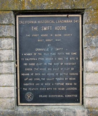
The first house in Glenn County, built about 1848 by Granville P. Swift, a member of the Bear Flag Party, who came to California from Oregon in 1844. The site is 150 yards east on the banks of Hambright Creek. The house was built of clay by Indians. He soon had herds of cattle ranging up and down the valley tended by Indian vaqueros and he made a fortune mining on the Feather River with his Indian laborers.
Erected by Orland Bicentennial Committee. (Marker Number 345.)
Topics and series. This historical marker is listed in this topic list: Settlements & Settlers. In addition, it is included in the California Historical Landmarks series list. A significant historical year for this entry is 1848.
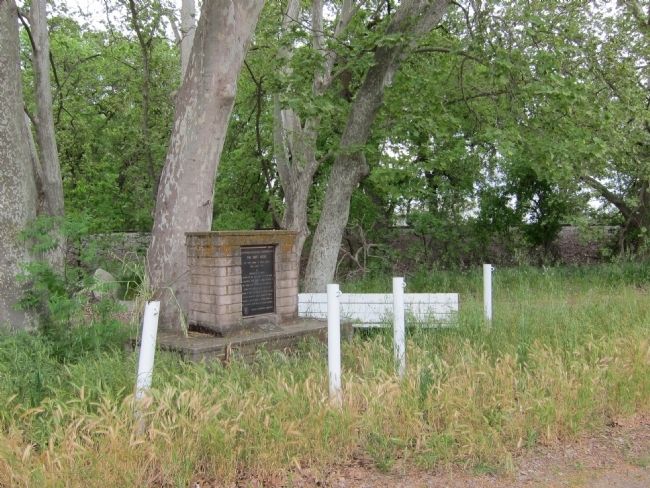
Location. 39° 45.601′ N, 122° 11.805′ W. Marker is in Orland, California, in Glenn County. Marker is at the intersection of State Highway 99W and Jacqueline Drive on State Highway 99W. If driving north from Orland, Sixth Street turns into Hwy 99W. The marker is about a mile north of the Orland Arch. Touch for map. Marker is at or near this postal address: 4560 Hwy 99W, Orland CA 95963, United States of America. Touch for directions.
Other nearby markers. At least 8 other markers are within 12 miles of this marker, measured as the crow flies. Orland’s Cannons (approx. 0.6 miles away); Papst Flour Mill Site (approx. 1.1 miles away); Pioneer Homesite (approx. 7.9 miles away); William Semple Green (approx. 7.9 miles away); Simpson Bridge Memorial (approx. 8.4 miles away); Maywood Woman's Clubhouse (approx. 11.6 miles away); Miners Inn (approx. 11.6 miles away); The Hotel Maywood (approx. 11.7 miles away). Touch for a list and map of all markers in Orland.
Regarding The Swift Adobe. The site of Swift’s adobe, long-vanished, is on the south bank of Hambright Creek about 100 yards east of the railway north of Orland. Swift is credited with planting the first barley in the Northern Sacramento Valley, and it is reported that he acquired a large fortune in gold from the Feather River following the John Bidwell gold discovery at Bidwell’s Bar. Legend has it that he buried his gold around his adobe and many have dug around the area looking for it, but no gold has ever been found.
Also see . . . Wikipedia entry for Granville P. Swift (retrieved 4/20/11). Granville Perry Swift (May 1, 1821 in Lexington, Kentucky – April 21, 1875) was a California pioneer who participated in the Bear Flag Revolt in 1846 and who
was highly successful at gold mining. His great-uncle was Daniel Boone. (Submitted on April 21, 2011.)
Credits. This page was last revised on December 7, 2021. It was originally submitted on April 21, 2011, by Andrew Ruppenstein of Lamorinda, California. This page has been viewed 1,023 times since then and 27 times this year. Last updated on December 13, 2019, by Craig Baker of Sylmar, California. Photos: 1, 2. submitted on April 21, 2011, by Andrew Ruppenstein of Lamorinda, California. • J. Makali Bruton was the editor who published this page.

