Salisbury in Litchfield County, Connecticut — The American Northeast (New England)
Salisbury
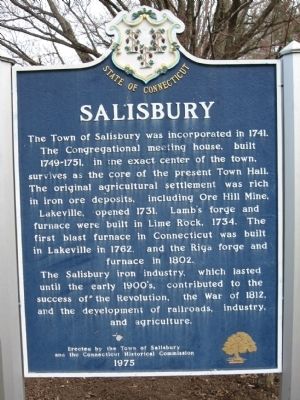
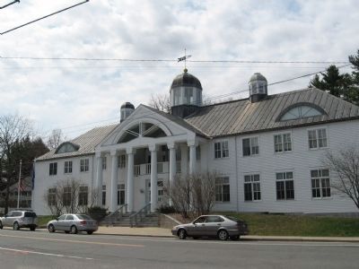
The Town of Salisbury was incorporated in 1741. The Congregational meeting house, built 1749-1751, in the exact center of the town, survives as the core of the present Town Hall. The original agrcultural settlement was rich in iron ore deposits, including Ore Hill Mine, Lakeville, opened 1731. Lamb's forge and furnace were built in Lime Rock, 1734. The first blast furnace in Connecticut was built in Lakeville in 1762, and the Riga forge and furnace in 1802.
The Salisbury iron industry, which lasted until the early 1900's, contributed to the success of the Revolution, the War of 1812, and the development of railroads, industry, and agrculture.
Erected 1975 by the Town of Salisbury and the Connecticut Historical.
Topics. This historical marker is listed in these topic lists: Colonial Era • Settlements & Settlers. A significant historical year for this entry is 1741.
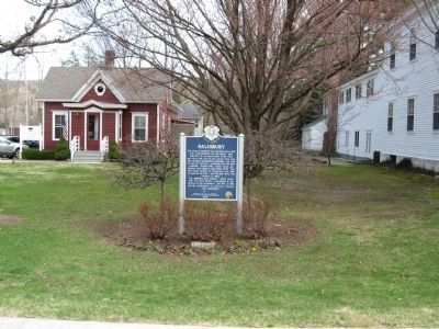
Location. 41° 58.898′ N, 73° 25.356′ W. Marker is in Salisbury, Connecticut, in Litchfield County. Marker is at the intersection of Main Street and Academy Street, on the left when traveling south on Main Street. Touch for map. Marker is in this post office area: Salisbury CT 06068, United States of America. Touch for directions.
Other nearby markers. At least 8 other markers are within 4 miles of this marker, measured as the crow flies. Salisbury Academy (a few steps from this marker); Salisbury Veterans Monument (within shouting distance of this marker); The Old Burying Ground (within shouting distance of this marker); Nation's First Public Library (within shouting distance of this marker); Salisbury Soldiers' Monument (approx. 0.2 miles away); Central New England Railroad (approx. 0.6 miles away); In Memory of Robert Scoville, M.A. (approx. 2.8 miles away); Canaan (approx. 3˝ miles away). Touch for a list and map of all markers in Salisbury.
Also see . . . Salisbury, Connecticut on Wikipedia. (Submitted on April 28, 2011, by Michael Herrick of Southbury, Connecticut.)
Credits. This page was last revised on December 28, 2021. It was originally submitted on April 28, 2011, by Michael Herrick of Southbury, Connecticut. This page has been viewed 685 times since then and 22 times this year. Photos: 1, 2, 3, 4, 5. submitted on April 28, 2011, by Michael Herrick of Southbury, Connecticut.
