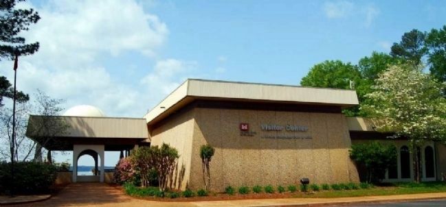
Clarks Hill in McCormick County, South Carolina — The American South (South Atlantic)
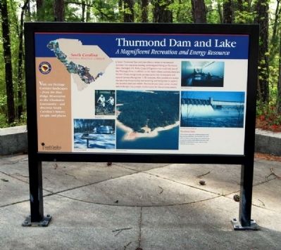
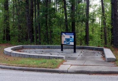
Thurmond Dam and Lake / McCormick County
A Magnificent Recreation and Energy Resource
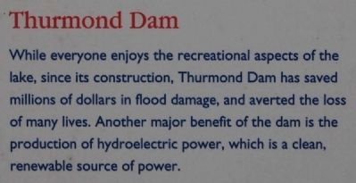
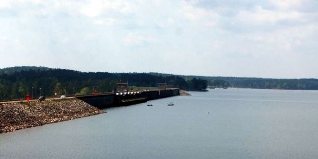
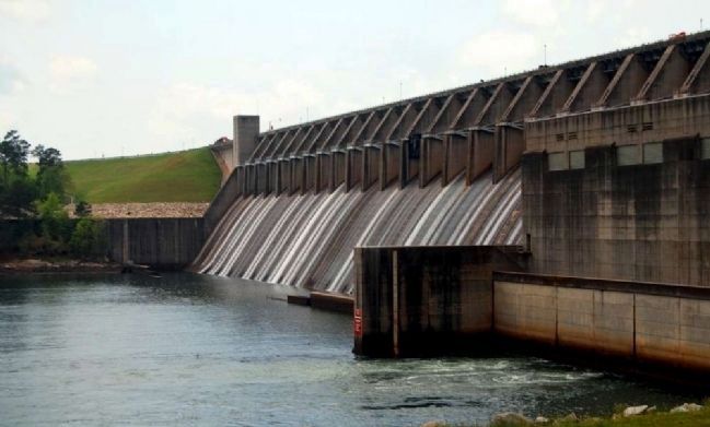
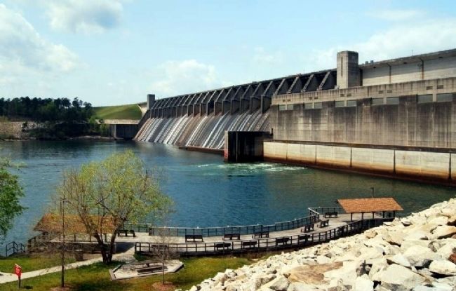
Thurmond Dam
While everyone enjoys the recreational aspects of the lake, since its construction, Thurmond Dam has saved millions of dollars in flood damage, and averted the loss of many lives. Another major benefit of the dam is the production of hydroelectric power, which is a clean, renewable source of power.
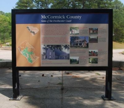
Gem of the Freshwater Coast
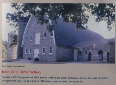
John de la Howe School
Founded in 1797 through the will of Dr. John de la Howe, the school continues to address the needs of children throughout the state. The Barn, built in 1931, serves today as an area country market.
Hickory Knob State Park
Located on the shores of the 70,000 acre Thurmond Lake, the park offers motel and cabin accommodations, campsites and a variety of outdoor activities including gold, tennis, trails, and boating.
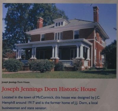
Joseph Jennings Dorn Historic House
Located in the town of McCormick, this house was designed by J.C. Hemphill around 1917 and is the former home of J.J. Dorn, a local businessman and state senator.
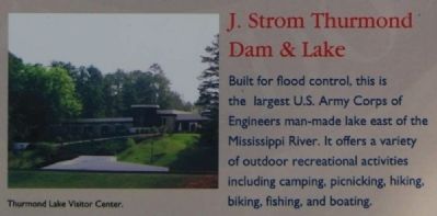
J. Strom Thurmond Dam & Lake
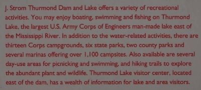
Built for flood control, this is the largest U.S. Army Corps of engineers man-made lake east of the Mississippi River. It offers a variety of outdoor recreational activities including camping, picnicking, hiking, biking, fishing, and boating.
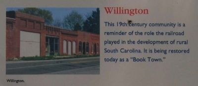
Willington
This 19th century community is a reminder of the role the railroad played in the development of rural South Carolina. It is being restored today as a "Book Town."
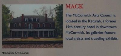
MACK
The McCormick Arts Council is located in the Keturah, a former 19th century hotel in downtown McCormick. Its galleries feature local artists and traveling exhibits.
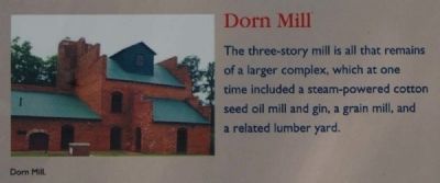
Dorn Mill
The three-story mill is all that remains of a larger complex, which at one time included a steam-powered cotton seed oil mill and gin, a grist mill, and a related lumber yard.
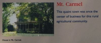
Mt. Carmel
This quaint town was once the center of business for this rural agricultural community.
Erected by South Carolina National Heritage Corridor.
Topics and series. This historical marker is listed in these topic lists: Man-Made Features • Settlements & Settlers • Waterways & Vessels. In addition, it is included in the South Carolina Heritage Corridor series list. A significant historical year for this entry is 1797.
Location. 33° 39.717′ N, 82° 11.483′ W. Marker is in Clarks Hill, South Carolina, in McCormick County. Marker is on U.S. 221. Marker is located near the east end of the Thurmond Dam. Touch for map. Marker is in this post office area: Clarks Hill SC 29821, United States of America. Touch for directions.
Other nearby markers. At least 10 other markers are within 11 miles of this marker, measured as the crow flies. J. Strom Thurmond Dam (about 300 feet away, measured in a direct line); Purpose of the Dam (approx. 0.3 miles away); Damascus Baptist Church (approx. 7.2 miles away in Georgia); Jabez Pleiades Marshall (approx. 8.2 miles away in Georgia); Bridging Time (approx. 9˝ miles away); a different marker also named Bridging Time (approx. 9.6 miles away); First Baptist Church in Georgia (approx. 10.6 miles away in Georgia); Religious Liberty in Georgia (approx. 10.6 miles away in Georgia); Columbia County (approx. 10.7 miles away in Georgia); Woodmen of the World Veterans Monument (approx. 10.7 miles away in Georgia). Touch for a list and map of all markers in Clarks Hill.
Also see . . .
1. Lake Strom Thurmond. Lake Strom Thurmond, known in Georgia as Clarks Hill Lake, is a reservoir at the border between Georgia and South Carolina in the Savannah River Basin. (Submitted on May 2, 2011, by Brian Scott of Anderson, South Carolina.)
2. McCormick County, Gem of the Freshwater Coast. Official website of McCormick County, South Carolina. (Submitted on May 2, 2011, by Brian Scott of Anderson, South Carolina.)
3. McCormick County, South Carolina. McCormick County is a county located in the U.S. state of South Carolina. (Submitted on May 2, 2011, by Brian Scott of Anderson, South Carolina.)
4. John de la Howe School. Originally founded in 1797 as a farm school for local poor and orphaned children, John de la Howe School has evolved into a first-rate, child caring agency committed to meeting the behavioral, educational, and social needs of the children in its care. (Submitted on May 2, 2011, by Brian Scott of Anderson, South Carolina.)
5. Joseph Jennings Dorn House. The Joseph Jennings Dorn House was built ca. 1917 in the Colonial Revival style and is one of the few early brick homes in McCormick. (Submitted on May 2, 2011, by Brian Scott of Anderson, South Carolina.)
6. Dorn's Flour and Grist Mills. Dorn’s Flour and Grist Mills is a two-and-a-half story red brick structure with projecting one-story wings. (Submitted on May 2, 2011, by Brian Scott of Anderson, South Carolina.)
7. Mt. Carmel Historic District. Mount Carmel is a small town that developed in the 1880s, contemporary with the development of the Savannah Valley Railroad. (Submitted on May 2, 2011, by Brian Scott of Anderson, South Carolina.)
Additional commentary.
1. Parks and Recreation Areas on Lake Thurmond
South Carolina Parks and Recreation Areas
Calhoun Falls
Calhoun Falls State Recreation Area
McCormick
Chamberlain Ferry Picnic Area
Hickory Knob State Resort Park
Leroys Ferry Recreation Area
Modoc
Hamilton Branch State Park
Mt. Carmel
Mt. Carmel Park
Patterson Branch Picnic Area
Plumb Branch
Parksville Recreation Area
Sumter National Forest
Parks and Recreation Areas in Georgia
Appling
Fort Gordon Recreation Area
Mistletoe State Park
Wildwood Park
Elberton
Bobby Brown State Park
Lincolnton
Elijah Clark State Park
Washington
Holiday Park
— Submitted May 2, 2011, by Brian Scott of Anderson, South Carolina.
Credits. This page was last revised on November 22, 2020. It was originally submitted on May 2, 2011, by Brian Scott of Anderson, South Carolina. This page has been viewed 1,384 times since then and 31 times this year. Photos: 1, 2, 3, 4, 5, 6, 7, 8, 9, 10, 11, 12, 13, 14, 15, 16, 17, 18. submitted on May 2, 2011, by Brian Scott of Anderson, South Carolina.
