Corpus Christi in Nueces County, Texas — The American South (West South Central)
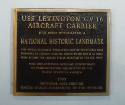
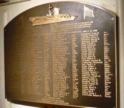
USS Lexington CV-16
Aircraft Carrier
Aircraft Carrier
Has been designated a
National Historic Landmark.
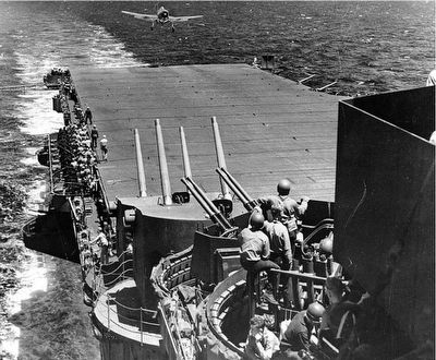
This highly decorated warship illustrates the pivotal role
Performed by aircraft carriers during World War II as these ships became the primary strike platform of the U.S. Navy.
This ship possesses national significance
in commemorating the history of the
United States of America
2003
National Park Service
United States Department of the Interior
Erected 2003 by National Park Service.
Topics and series. This historical marker is listed in these topic lists: Air & Space • War, World II • Waterways & Vessels. In addition, it is included in the National Historic Landmarks series list. A significant historical year for this entry is 2003.
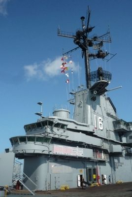
Location. 27° 48.916′ N, 97° 23.34′ W. Marker is in Corpus Christi, Texas, in Nueces County. Marker can be reached from N. Shoreline Blvd north of Breakwater Ave.. Marker is at the upper end of the access ramp - at the museum's main (gangway) entrance on the ship's open hanger deck. Touch for map. Marker is at or near this postal address: 2914 N Shoreline Blvd, Corpus Christi TX 78403, United States of America. Touch for directions.
Other nearby markers. At least 8 other markers are within walking distance of this marker. Rising Sun (a few steps from this marker); Kamikaze (a few steps from this marker); Nueces County (approx. half a mile away); 1919 Storm (approx. half a mile away); Corpus Christi Longshoremen's Unions (approx. 0.6 miles away); Julius Lichtenstein House (approx. 0.7 miles away); Sidbury House (approx. 0.7 miles away); Simon Gugenheim House (approx. 0.7 miles away). Touch for a list and map of all markers in Corpus Christi.
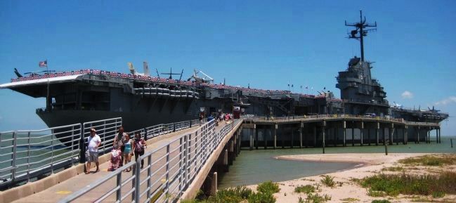
More about this marker. The Lexington is offshore from the parking area off N. Shoreline Blvd., two blocks northeast of the Texas State Aquarium and southeast of Harbor Bridge (US 181/Texas 35).
Also see . . .
1. USS Lexington: Museum on the Bay. (Submitted on May 4, 2011, by Richard E. Miller of Oxon Hill, Maryland.)
2. USS Lexington. (Submitted on May 4, 2011, by Richard E. Miller of Oxon Hill, Maryland.)
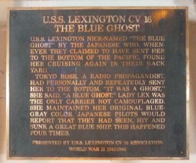
Additional keywords. USS Lexington CV-16
Credits. This page was last revised on January 25, 2020. It was originally submitted on May 4, 2011, by Richard E. Miller of Oxon Hill, Maryland. This page has been viewed 1,343 times since then and 23 times this year. Photos: 1, 2, 3, 4, 5, 6, 7. submitted on May 4, 2011, by Richard E. Miller of Oxon Hill, Maryland. • Bill Pfingsten was the editor who published this page.
