Picolata in St. Johns County, Florida — The American South (South Atlantic)
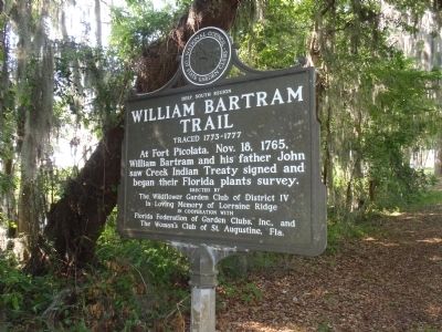
William Bartram Trail
Traced 1773-1777
— Deep South Region —
William Bartram and his father John
saw Creek Indian Treaty signed and
began their Florida plants survey.
Erected by
The Wildflower Garden Club of District IV
In loving memory of Lorraine Ridge
In cooperation with
Florida Federation of Garden Clubs, Inc., and
The Woman's Club of St. Augustine, Fla.
Erected by National Council of State Garden Clubs.
Topics and series. This historical marker is listed in these topic lists: Environment • Exploration • Horticulture & Forestry. In addition, it is included in the William Bartram Trails series list. A significant historical date for this entry is November 18, 1965.
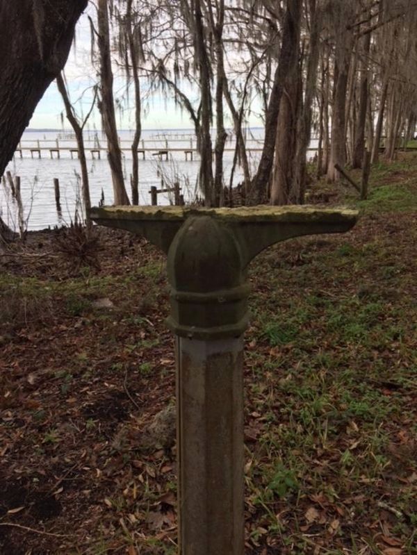
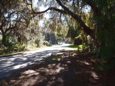
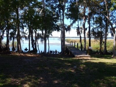
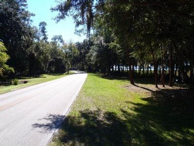
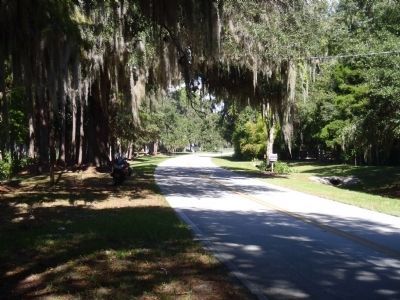
Location. Marker is missing. It was located near 29° 55.322′ N, 81° 35.616′ W. Marker was in Picolata, Florida, in St. Johns County. Marker was on County Road 13, half a mile north of County Road 208, on the right when traveling south. Touch for map. Marker was in this post office area: Saint Augustine FL 32092, United States of America. Touch for directions.
Other nearby markers. At least 8 other markers are within 6 miles of this location, measured as the crow flies. Picolata (approx. half a mile away); Sanksville Cemetery (approx. 3.9 miles away); Fort San Fransisco de Pupo (approx. 4.4 miles away); St. Augustine Confederate Memorial (approx. 4.7 miles away); William Wing Loring (approx. 4.8 miles away); William Bartram's Plantation (approx. 4.8 miles away); Pratt Whitney R-2800 Twin Wasp Engine (approx. 5.4 miles away); M151 Series Military Utility Tactical Truck (approx. 5.4 miles away).
Also see . . . The Travels of William Bartram. The official site of the Bartram Trail Conference, Inc. (Submitted on May 9, 2011, by Bernard Fisher of Richmond, Virginia.)
Credits. This page was last revised on October 21, 2023. It was originally submitted on May 8, 2011, by Ray King of Jacksonville, Florida. This page has been viewed 1,175 times since then and 15 times this year. Photos: 1. submitted on May 8, 2011, by Ray King of Jacksonville, Florida. 2. submitted on February 20, 2021, by Tim Fillmon of Webster, Florida. 3, 4, 5, 6. submitted on October 24, 2011, by Ray King of Jacksonville, Florida. • Bernard Fisher was the editor who published this page.
