Burlington in Alamance County, North Carolina — The American South (South Atlantic)
The John Allen House
Inscription.
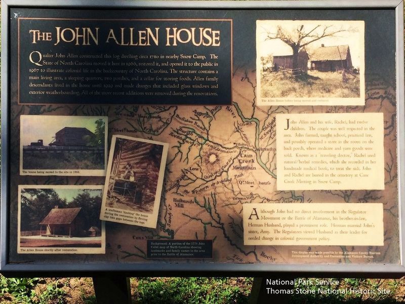
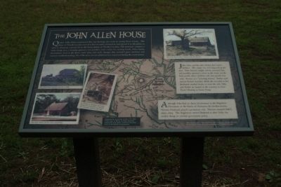
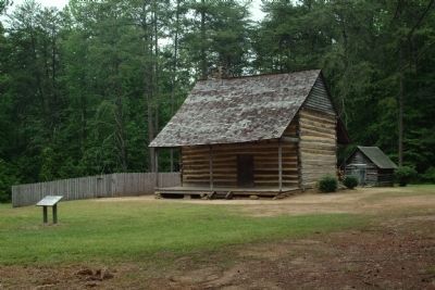
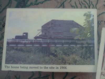
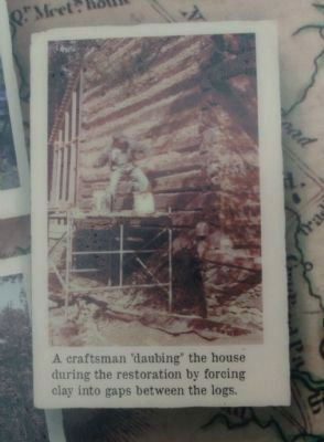
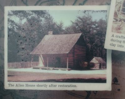
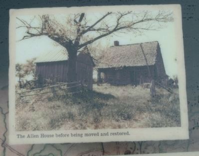
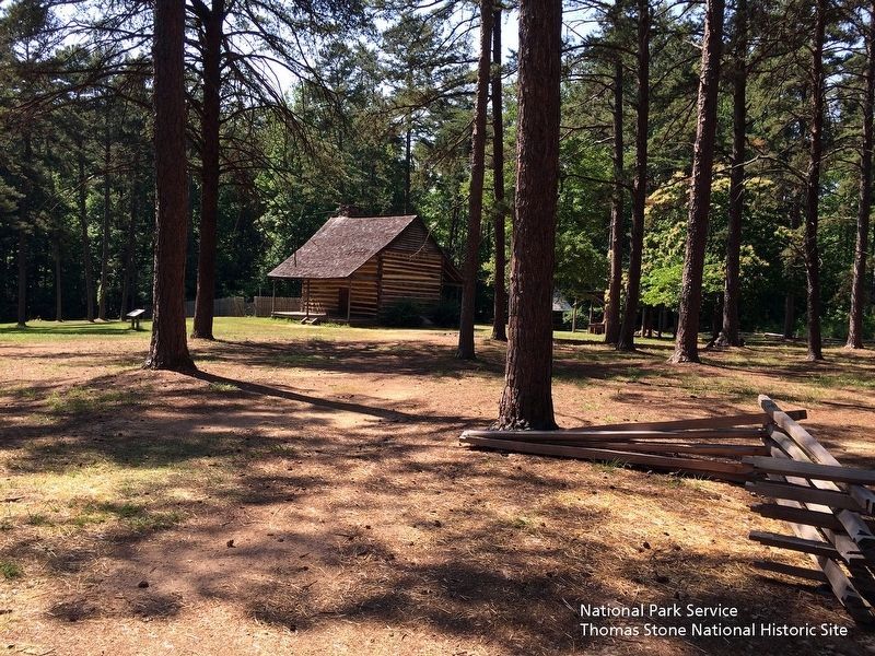
Quaker John Allen constructed this log dwelling circa 1780 in nearby Snow Camp. The State of North Carolina moved it here in 1966, restored it, and opened it to the public in 1967 to illustrate colonial life in the backcountry of North Carolina. The structure contains a main living area, a sleeping quarters, two porches, and a cellar for storing foods. Allen family descendants lived in the home until 1929 and made changes that included glass windows and exterior weatherboarding. All of the more recent additions were removed during the renovations.
John Allen and his wife, Rachel, had twelve children. The couple was well respected in the area. John farmed, taught school, practiced law, and possibly operated a store in the room on the back porch, where medicine and yarn goods were sold. Known as a "traveling doctor," Rachel used natural/herbal remedies, which she recorded in her handmade medical book, to treat the sick. John and Rachel are buried in the cemetery at Cane Creek Meeting in Snow Camp.
Although John had no direct involvement in the Regulator Movement or the Battle of Alamance, his brother-in-law, Herman Husband, played a prominent role. Herman married John's sister, Amy. The Regulators viewed Husband as their leader for needed change in colonial government policy.
Background: A portion of the 1770 John Collet map of North Carolina showing landmarks and family names in the area prior to the Battle of Alamance.
Erected 2011 by Alamance County Tourism Development Authority and Convention and Visitors Bureau.
Topics. This historical marker is listed in these topic lists: Colonial Era • Settlements & Settlers • War, US Revolutionary. A significant historical year for this entry is 1780.
Location. 36° 0.609′ N, 79° 31.301′ W. Marker is in Burlington, North Carolina, in Alamance County. Marker can be reached from North Carolina Route 62, 0.2 miles south of Oakbury Road, on the right when traveling south. Located at Alamance Battleground, a State of North Carolina Historic Site. Touch for map. Marker is at or near this postal address: 5803 NC-62 S, Burlington NC 27215, United States of America. Touch for directions.
Other nearby markers. At least 8 other markers are within walking distance of this marker. A Revolutionary War Connection (within shouting distance of this marker); The Battle of Alamance (about 300 feet away, measured in a direct line); Pugh's Rock (about 400 feet away); a different marker also named Battle of Alamance (about 600 feet away); Battle of Alamance Monument (about 600 feet away); Governor Tryon and the Militia (about 700 feet away); First Battle of the Revolution (about 700 feet away); The Regulators' Field (about 700 feet away). Touch for a list and map of all markers in Burlington.
Related markers. Click here for a list of markers that are related to this marker. To better understand the relationship, study each marker in the order shown.
Also see . . . Alamance Battleground, North Carolina Historic Sites. (Submitted on September 10, 2019.)
Credits. This page was last revised on September 11, 2019. It was originally submitted on May 8, 2011, by Patrick G. Jordan of Graham, North Carolina. This page has been viewed 1,719 times since then and 102 times this year. Photos: 1. submitted on September 10, 2019. 2, 3, 4, 5, 6, 7. submitted on May 8, 2011, by Patrick G. Jordan of Graham, North Carolina. 8. submitted on September 10, 2019. • Bill Pfingsten was the editor who published this page.
