Scottsboro in Baldwin County, Georgia — The American South (South Atlantic)
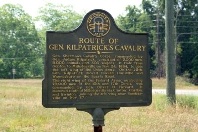
Route of Gen. Kilpatrick’s Cavalry
Erected 1994 by Georgia Historic Marker. (Marker Number 005-15.)
Topics and series. This historical marker is listed in this topic list: War, US Civil. In addition, it is included in the Georgia Historical Society, and the Sherman’s March to the Sea series lists. A significant historical month for this entry is October 1822.
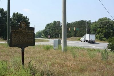
Location. 33° 1.435′ N, 83° 14.053′ W. Marker is in Scottsboro, Georgia, in Baldwin County. Marker is at the intersection of Irwinton Road (Ga 29) (U.S. 441) and Georgia Route 243, on the right when traveling north on Irwinton Road (Ga 29). Touch for map. Marker is in this post office area: Milledgeville GA 31061, United States of America. Touch for directions.
Other nearby markers. At least 8 other markers are within 3 miles of this marker, measured as the crow flies. John Clark House (approx. 0.7 miles away); Cedar Lane Cemetery (approx. 1.4 miles away); Fort Wilkinson (approx. 1.9 miles away); Milledgeville State Hospital (approx. 2 miles away); Cornerstone/Auditorium Building (approx. 2 miles away); Powell Building (approx. 2 miles away); Old Fort Wilkinson (approx. 2.1 miles away); The Walker Building (approx. 2.1 miles away).
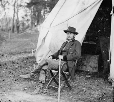
Also see . . . Hugh Judson Kilpatrick, from Wikipedia,. Known as "Kilcavalry" (or "Kill-Cavalry") for using tactics in battle that were considered as a reckless disregard for lives of soldiers under his command, Kilpatrick was both praised for the victories he achieved, and despised by southerners whose homes and towns he devastated. (Submitted on May 11, 2011, by Mike Stroud of Bluffton, South Carolina.)
Credits. This page was last revised on November 15, 2018. It was originally submitted on May 11, 2011, by Mike Stroud of Bluffton, South Carolina. This page has been viewed 1,391 times since then and 26 times this year. Photos: 1, 2, 3. submitted on May 11, 2011, by Mike Stroud of Bluffton, South Carolina.


