Unison in Loudoun County, Virginia — The American South (Mid-Atlantic)
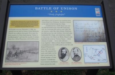
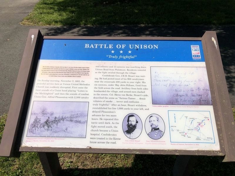
Battle of Unison
"Truly frightful"
After the Battle of Antietam in September 1862, Gen. Robert E. Lee's Army of Northern Virginia escaped to Virginia. President Abraham Lincoln repeatedly urged Union Gen. George B. McClellan to pursue and attack. Following a plan that Lincoln devised to trap Lee's army in the Shenandoah Valley, McClellan finally got his Army of the Potomac moving. On November 1, Union cavalry Gen. Alfred Pleasonton began leading the advance from Philomont toward Upperville. Gen. J.E.B. Stuart's cavalry delayed him for three days. On November 5, learning that Lee's army had evaded the trap and reached Culpeper County, Lincoln ordered McClellan relieved of command.
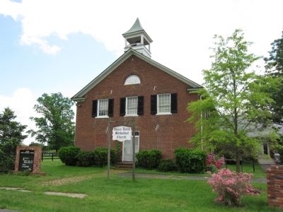
On Sunday morning, November 2, 1862, the peaceful service here at Unison United Methodist Church was suddenly disrupted. First came the faint sounds of a Union band playing "Listen to the Mockingbird" and then the sounds of combat. Union Gen. Alfred Pleasonton with 2,500 cavalry and infantry and 12 cannons was marching down Unison Road from Philomont. Residents cowered as the fight swirled through the village.
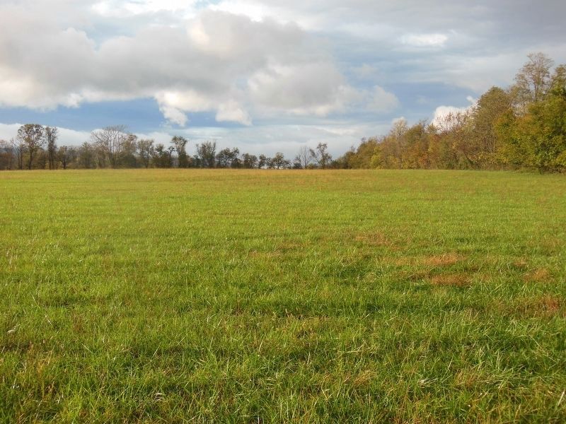
Confederate Gen. J.E.B. Stuart was waiting. He had posted most of his 900 cavalrymen near the crossroads 200 yards to your right. His six cannons, under Maj. John Pelham, fired from the field across the road. Artillery from both sides bombarded the village, and armed men clashed in the streets. Col. Heros von Borke, Stuart's aide, described the scene as "furious flames... dense volumes of smoke ... terror and confusion .. truly frightful." After an hour, Stuart withdrew, reestablished his line 1,000 yards to your left, and delayed Pleasonton's advance for two more hours. He repeated this tactic until dark. As the fight moved south, the church became a Union hospital. Confederates were treated in the Keene house across the road.
Erected 2011 by Virginia Civil War Trails.
Topics and series. This historical marker is listed in this topic list: War, US Civil. In addition, it is included in the Virginia Civil War Trails series list. A significant historical month for this entry is September 1862.
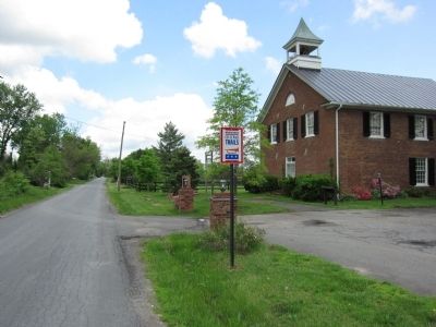
Location. 39° 2.062′ N, 77° 47.601′ W. Marker is in Unison, Virginia, in Loudoun County. Marker is on Unison Road (County Route 630), on the right when traveling east. Located in front of the Unison Methodist Church. Touch for map. Marker is in this post office area: Middleburg VA 20117, United States of America. Touch for directions.
Other nearby markers. At least 8 other markers are within 4 miles of this marker, measured as the crow flies. A different marker also named The Battle of Unison (approx. 0.2 miles away); History of St. Louis (approx. 1.7 miles away); Ebenezer Churches (approx. 1.9 miles away); Bushrod Lynn
Photographed By Devry Becker Jones (CC0), May 21, 2021
2. Battle of Unison Marker
Unfortunately the marker has moderately weathered.
Credits. This page was last revised on June 7, 2021. It was originally submitted on May 16, 2011, by Craig Swain of Leesburg, Virginia. This page has been viewed 1,361 times since then and 51 times this year. Photos: 1. submitted on May 16, 2011, by Craig Swain of Leesburg, Virginia. 2. submitted on May 22, 2021, by Devry Becker Jones of Washington, District of Columbia. 3, 4. submitted on May 16, 2011, by Craig Swain of Leesburg, Virginia. 5. submitted on June 5, 2021, by Bradley Owen of Morgantown, West Virginia.
