La Grange in Stanislaus County, California — The American West (Pacific Coastal)
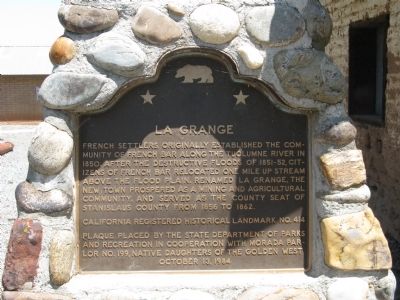
La Grange
Erected 1984 by State Department of Parks and Recreation and Morada Parlor No. 199, Native Daughters of the Golden West. (Marker Number 414.)
Topics and series. This historical marker is listed in these topic lists: Industry & Commerce • Settlements & Settlers. In addition, it is included in the California Historical Landmarks, and the Native Sons/Daughters of the Golden West series lists. A significant historical year for this entry is 1850.
Location. 37° 39.828′ N, 120° 27.63′ W. Marker is in La Grange, California, in Stanislaus County. Marker is on Yosemite Boulevard (Highway 132), on the left when traveling east. Marker is located at the small La Grange Historical Park. Touch for map. Marker is at or near this postal address: 30173 Yosemite Boulevard, La Grange CA 95329, United States of America. Touch for directions.
Other nearby markers. At least 8 other markers are within walking distance of this marker. A different marker also named La Grange (here, next to this marker); The Trading Post (a few steps from this marker); The Old Barn – First Adobe Building (a few steps from this marker); The Old Jail (within shouting distance of this marker); Saint Louis Mission (about 600 feet away, measured in a direct line); La Grange Saloon (about 600 feet away); The Old La Grange Schoolhouse (approx. 0.2 miles away); LaFayette Historical Lodge #65 (approx. 0.2 miles away). Touch for a list and map of all markers in La Grange.
Regarding La Grange. The town of La Grange was designated as California Registered Historical Landmark No. 414 on November 15, 1948 and placed on the National Register of Historic Places on August 24, 1979.
Also see . . . La Grange. A detailed history of La Grange. Includes links to photos and information on several of the towns buildings. (Submitted on May 20, 2011.)
Photographed By Syd Whittle, May 19, 2011
2. La Grange Marker
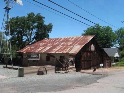
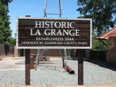
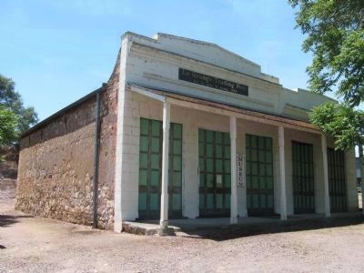
The marker is mounted on a stone base to the left of the Old Barn which at one time served as the La Grange Post Office. Also located at the La Grange Historical Park is the La Grange Trading Post building, the old jail, and a dredging-bucket display.
Credits. This page was last revised on June 16, 2016. It was originally submitted on May 20, 2011, by Syd Whittle of Mesa, Arizona. This page has been viewed 1,140 times since then and 42 times this year. Photos: 1, 2, 3, 4. submitted on May 20, 2011, by Syd Whittle of Mesa, Arizona. 5, 6. submitted on May 21, 2011, by Syd Whittle of Mesa, Arizona. 7, 8, 9. submitted on May 23, 2016, by Michael Kindig of Elk Grove, California.
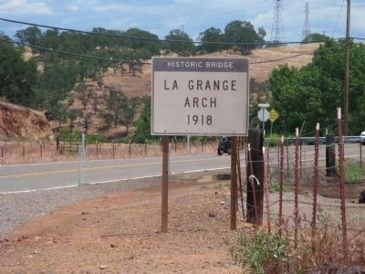
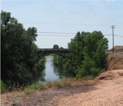
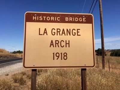
![La Grange Arch 1918 [north-east side]. Click for full size. La Grange Arch 1918 [north-east side] image. Click for full size.](Photos3/352/Photo352778.jpg?5262016121400PM)
![La Grange Arch 1918 [north-east side]. Click for full size. La Grange Arch 1918 [north-east side] image. Click for full size.](Photos3/352/Photo352779.jpg?5262016121300PM)