Former Walter Reed Army Medical Center in Northwest Washington in Washington, District of Columbia — The American Northeast (Mid-Atlantic)
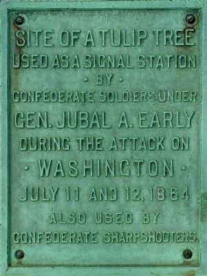
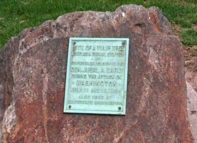
Site of a Tulip Tree
· by ·
Confederate soldiers under
Gen. Jubal A. Early
during the attack on
· Washington ·
July 11 and 12, 1864
Also used by
Confederate Sharpshooters
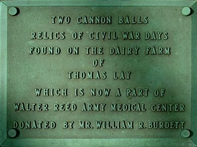
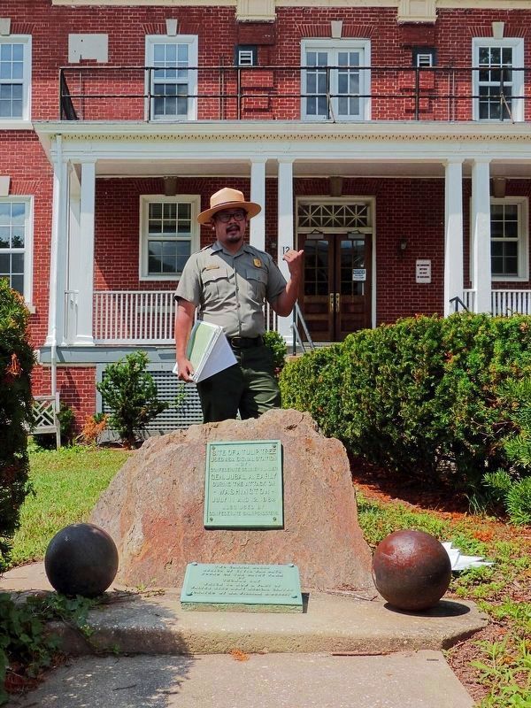
The lower plaque reads:
Relics of Civil War days
found on the dairy farm
of
Thomas Lay
which is now a part of
Walter Reed Army Medical Center
Donated by Mr. William R. Burdett
Topics. This memorial is listed in these topic lists: Military • Natural Features • War, US Civil.
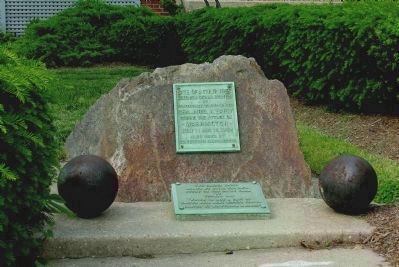
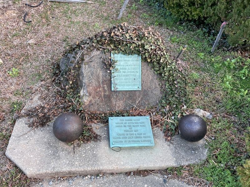
Location. 38° 58.418′ N, 77° 1.671′ W. Marker is in Northwest Washington in Washington, District of Columbia. It is in Former Walter Reed Army Medical Center. Memorial is on Butternut Street Northwest west of Georgia Avenue Northwest (Route 29), on the right when traveling west. In front of the Provost Marshal's Building. Touch for map. Marker is at or near this postal address: 1004 Butternut Street, Washington DC 20307, United States of America. Touch for directions.
Other nearby markers. At least 8 other markers are within walking distance of this marker. Battle of Fort Stevens (within shouting distance of this marker); Borden's Dream (about 400 feet away, measured in a direct line); WRAMC - Modern Era (about 400 feet away); Walter Reed General Hospital (about 500 feet away); Cameron's Creek and the Rose Garden (about 600 feet away); Borden's Dream Realized (about 600 feet away); Walter Reed Army Medical Center (about 700 feet away); a different marker also named Walter Reed Army Medical Center (about 700 feet away). Touch for a list and map of all markers in Northwest Washington.
Credits. This page was last revised on March 15, 2023. It was originally submitted on April 6, 2010, by Kevin A. McGrath of Washington, District of Columbia. This page has been viewed 1,910 times since then and 29 times this year. Last updated on May 25, 2011, by Allen C. Browne of Silver Spring, Maryland. Photos: 1, 2, 3. submitted on May 25, 2011, by Allen C. Browne of Silver Spring, Maryland. 4. submitted on March 14, 2023, by Allen C. Browne of Silver Spring, Maryland. 5. submitted on April 5, 2010, by Kevin A. McGrath of Washington, District of Columbia. 6. submitted on May 26, 2013, by Allen C. Browne of Silver Spring, Maryland. 7. submitted on July 12, 2017, by Allen C. Browne of Silver Spring, Maryland. • Kevin W. was the editor who published this page.
