Marker Logo HMdb.org THE HISTORICAL
MARKER DATABASE
“Bite-Size Bits of Local, National, and Global History”
Dubuque in Dubuque County, Iowa — The American Midwest (Upper Plains)
 

Dubuque Shot Tower


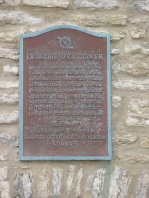
Dubuque Shot Tower Marker image. Click for full size.
Photographed By Robert L Weber, May 20, 2011
1. Dubuque Shot Tower Marker
Inscription. Built in 1856. Used for making lead shot and bullets. In use commercially for three years. Later used as a watchtower by a lumber company to guard against fire. The interior woodwork and the top were destroyed by fire in 1911. Restored in 1961 by citizens of Dubuque.
 
Erected 1963 by Dubuque Chapter Daughters of the American Revolution.
 
Topics and series. This historical marker is listed in this topic list: Landmarks. In addition, it is included in the Daughters of the American Revolution series list. A significant historical year for this entry is 1856.
 
Location. 42° 30.006′ N, 90° 39.24′ W. Marker is in Dubuque, Iowa, in Dubuque County. Marker is on East Commercial Street, 0.3 miles east of East 7th Street, on the left when traveling east. Touch for map. Marker is in this post office area: Dubuque IA 52001, United States of America. Touch for directions.
 
Other nearby markers. At least 8 other markers are within walking distance of this marker. Shot Tower (about 300 feet away, measured in a direct line); Old Dubuque County Jail (approx. 0.6 miles away); John Francis Rague (approx. 0.6 miles away); Site of Tim Fanning's Log Tavern (approx. 0.6 miles away); Five Flags Theater (approx. 0.6 miles away); Grand Opera House (approx. 0.6 miles away); Methodist Chapel
Paid Advertisement
Click on the ad for more information.
Please report objectionable advertising to the Editor.
Click or scan to see
this page online
(approx. 0.7 miles away); East Dubuque Veterans' Memorial (approx. 0.8 miles away in Illinois). Touch for a list and map of all markers in Dubuque.
 
Also see . . .  Shot Tower. Encyclopedia Dubuque (Submitted on June 21, 2011, by Bernard Fisher of Richmond, Virginia.) 
 
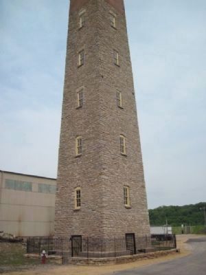
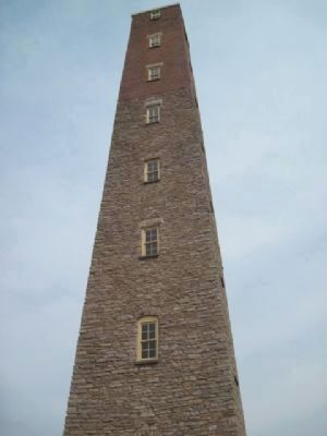
Shot Tower image. Click for full size.
Photographed By Robert L Weber, May 20, 2011
2. Shot Tower
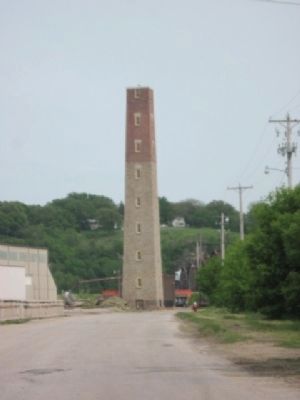
Shot Tower image. Click for full size.
Photographed By Robert L Weber, May 20, 2011
3. Shot Tower
Shot Tower from the West image. Click for full size.
Photographed By Robert L Weber, May 20, 2011
4. Shot Tower from the West
Shot Tower as seen from the River Walk image. Click for full size.
Photographed By Robert L Weber, May 20, 2011
5. Shot Tower as seen from the River Walk
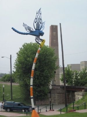
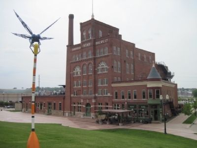
Artwork in front of Star Brewery
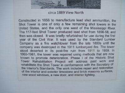
Shot Tower Info at site image. Click for full size.
Photographed By Robert L Weber, May 20, 2011
6. Shot Tower Info at site
Star Brewery image. Click for full size.
Photographed By Robert L Weber, May 20, 2011
7. Star Brewery
Located on River Walk next to Shot Tower.
 
 
Credits. This page was last revised on June 16, 2016. It was originally submitted on June 5, 2011, by Bob (peach) Weber of Dewey, Arizona. This page has been viewed 874 times since then and 27 times this year. Photos:   1, 2, 3, 4, 5, 6, 7. submitted on June 5, 2011, by Bob (peach) Weber of Dewey, Arizona. • Bernard Fisher was the editor who published this page.
Share this page.  
Share on Tumblr
m=43129

CeraNet Cloud Computing sponsors the Historical Marker Database.
This website earns income from purchases you make after using our links to Amazon.com. We appreciate your support.
Paid Advertisement
Apr. 19, 2024