Locust Grove in Orange County, Virginia — The American South (Mid-Atlantic)
The Battle of Payne’s Farm
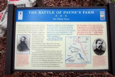
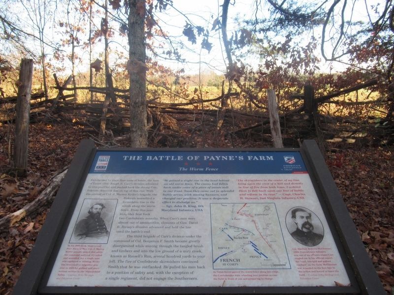
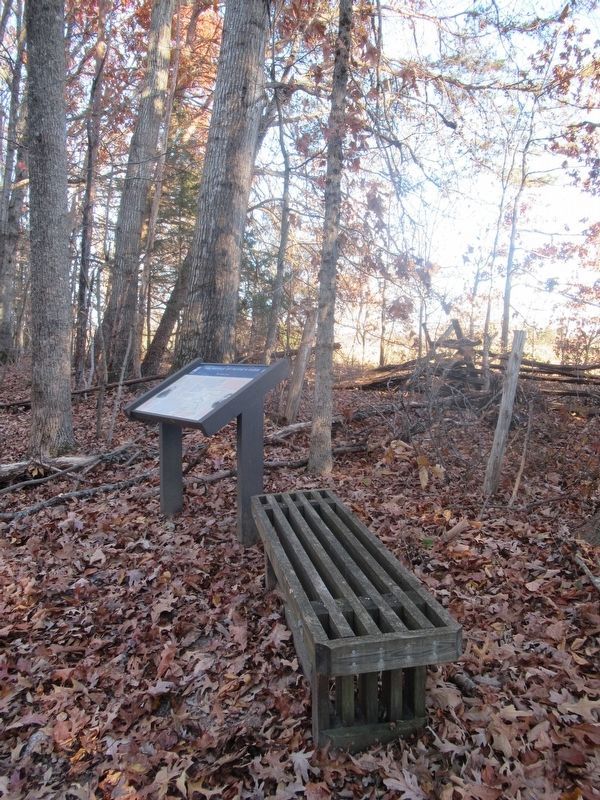
The Worm Fence
“The skirmishers in the center of my line being upon the crest of a hill and directly in line of fire from both lines, I ordered them to fall back upon our line of battle and reform in its rear.” — Capt. Charles H. Stewart, 2nd Virginia Infantry, CSA
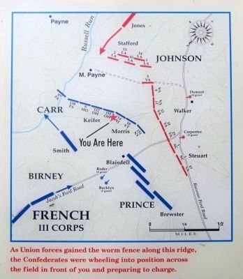
Exhilarated by their first taste of battle, the men of Union Gen. Joseph B. Carr’s division advanced to this position and pushed back the strong Confederate skirmish line on top of this rise. With the arrival of Col. J. Warren Keifer’s brigade, the Federals assembled a formidable line in the woods along the worm fence. From this position, they beat back two Confederate assaults. When Carr’s men were almost out of ammunition, elements of Gen. David B. Birney’s division advanced and held the line until the battle’s end.
The third brigade of Carr’s division under the command of Col. Benjamin F. Smith became greatly disorganized while moving through the tangled brush and timbers and into the low ground of a miry creek, known as Russell’s Run, several hundred yards to your left. The fire of Confederate skirmishers convinced Smith that he was outflanked. He pulled his men back to a position of safety and, with the exception of a single regiment, did not engage the Southerners.
(captions)
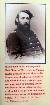
In his 1900 book, Slavery and Four Years of War, Col. J. Warren Keifer proudly stated that while his command suffered 172 killed and wounded, not a single man was captured or missing. Keifer was brevetted to brigadier general in 1864 for gallant and meritorious service in the Shenandoah Valley. — Courtesy Army Heritage and Education Center
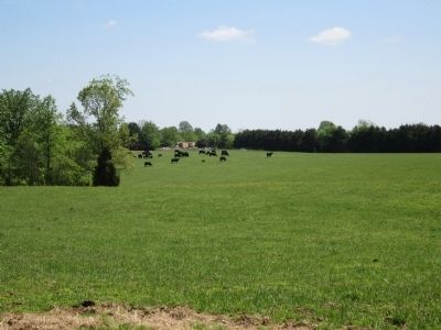
As Union forces gained the worm fence along this ridge, the Confederates were wheeling into position across the field in front of you and preparing to charge.
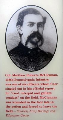
Col. Matthew Roberts McClennan, 138th Pennsylvania Infantry, was one of six officers whom Carr singled out in his official report for “cool, intrepid and gallant conduct” on the field. McClennan was wounded in the foot late in the action and forced to leave the field. — Courtesy Army Heritage and Education Center
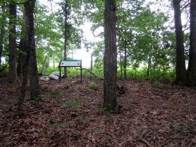
Erected 2011 by The Civil War Trust and Virginia Civil War Trails.
Topics and series. This historical marker is listed in this topic list: War, US Civil. In addition, it is included in the Virginia Civil War Trails series list. A significant historical year for this entry is 1900.
Location. 38° 20.183′ N, 77° 49.5′ W. Marker is in Locust Grove, Virginia, in Orange County. Marker can be reached from Zoar Road (Virginia Route 611) east of Indiantown Road (Virginia Route 603). Touch for map. Marker is at or near this postal address: 31334 Zoar Road, Locust Grove VA 22508, United States of America. Touch for directions.
Other nearby markers. At least 8 other markers are within walking distance of this marker. A different marker also named The Battle of Payne’s Farm (about 300 feet away, measured in a direct line); a different marker also named The Battle of Payne’s Farm (about 400 feet away); a different marker also named The Battle of Payne’s Farm (approx. 0.2 miles away); a different marker also named The Battle of Payne’s Farm (approx. 0.2 miles away); a different marker also named The Battle of Payne’s Farm (approx. ¼ mile away); a different marker also named The Battle of Payne’s Farm (approx. 0.3 miles away); a different marker also named The Battle of Payne’s Farm (approx. 0.3 miles away); The Mine Run Campaign (approx. 0.3 miles away). Touch for a list and map of all markers in Locust Grove.
Also see . . .
1. Mine Run (Payne's Farm). American Battlefield Trust (Submitted on June 6, 2011.)
2. The Mine Run Campaign by James K. Bryant II. Essential Civil War Curriculum, Virginia Center for Civil War Studies at Virginia Tech (Submitted on June 6, 2011.)
Credits. This page was last revised on February 23, 2022. It was originally submitted on June 6, 2011, by Bernard Fisher of Richmond, Virginia. This page has been viewed 891 times since then and 38 times this year. Photos: 1, 2, 3, 4. submitted on June 6, 2011, by Bernard Fisher of Richmond, Virginia. 5. submitted on February 22, 2022, by Benjamin Harrison Allen of Amissville, Virginia. 6. submitted on June 6, 2011, by Bernard Fisher of Richmond, Virginia. 7. submitted on February 22, 2022, by Benjamin Harrison Allen of Amissville, Virginia. 8. submitted on June 6, 2011, by Bernard Fisher of Richmond, Virginia.
