Brunswick in Frederick County, Maryland — The American Northeast (Mid-Atlantic)
Water Power
Chesapeake and Ohio Canal National Historical Park
— National Park Service, U.S. Department of the Interior —
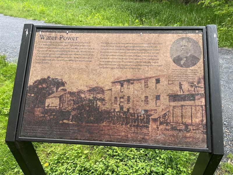
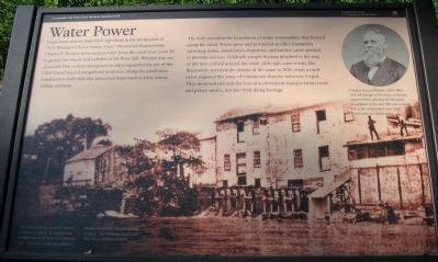
Canal water was an important ingredient in the production of "C.F. Wenner's Choice Family Flour." Brunswick businessman Charles F. Wenner drew surplus water from the canal near Lock 30 to power the wheels and turbines of his flour mill. Wenner was one of several 19th century entrepreneurs who expanded the use of the C&O Canal beyond navigational purposes. Along the canal other businessmen built mills that processed items such as corn, wheat, cotton, and lime.
The mills served as the foundation of many communities that formed along the canal. Towns grew and prospered as other businesses including stores, warehouses, and lumber yards opened to provide services. Gradually people became attached to the way of life that evolved around the canal. Although some towns, like Brunswick, survived the demise of the canal in 1924, many people never regained the sense of community that the waterway forged. They mourned not only the loss of a convenient transportation route and power source, but also their dying heritage.
[Sidebar:]
Charles Fenton Wenner (1825-1882) took advantage of the many economic opportunities afforded by the canal. In addition to the mill, Wenner owned 550 acres of farmland, tow canal boats, and two warehouses.
Erected by National Park Service, U.S. Department of the Interior.
Topics and series. This historical marker is listed in these topic lists: Industry & Commerce • Waterways & Vessels. In addition, it is included in the Chesapeake and Ohio (C&O) Canal series list. A significant historical year for this entry is 1924.
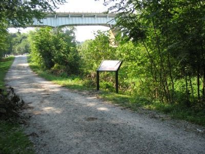
Location. 39° 18.672′ N, 77° 37.767′ W. Marker has been reported damaged. Marker is in Brunswick, Maryland, in Frederick County. Marker can be reached from South Maple Avenue, on the right. Located just to the east of Lock 30 on the Chesapeake and Ohio Canal towpath. Touch for map. Marker is in this post office area: Brunswick MD 21716, United States of America. Touch for directions.
Other nearby markers. At least 8 other markers are within walking distance of this location. Berlin (within shouting distance of this marker); Explore a Trail Network (about 400 feet away, measured in a direct line); Welcome to Chesapeake and Ohio Canal National Historical Park TRACK Trail (about 500 feet away); Brunswick (about 600 feet away); a different marker also named Brunswick (about 600 feet away); Train No. 286 Bell Memorial (about 600 feet away); Veterans Memorial (about 600 feet away); a different marker also named Brunswick (about 700 feet away). Touch for a list and map of all markers in Brunswick.
More about this marker. The background of the marker is a photo of the mill, captioned, "The mill's strategic

Photographed By Devry Becker Jones (CC0), May 14, 2022
2. Water Power Marker
Unfortunately, the marker has weathered.
Also see . . . Chesapeake and Ohio Canal. National Park Service site. (Submitted on December 21, 2007, by Craig Swain of Leesburg, Virginia.)
Credits. This page was last revised on May 15, 2022. It was originally submitted on December 21, 2007, by Craig Swain of Leesburg, Virginia. This page has been viewed 1,128 times since then and 19 times this year. Photos: 1. submitted on December 21, 2007, by Craig Swain of Leesburg, Virginia. 2. submitted on May 15, 2022, by Devry Becker Jones of Washington, District of Columbia. 3, 4. submitted on December 21, 2007, by Craig Swain of Leesburg, Virginia.


