Superior in Douglas County, Wisconsin — The American Midwest (Great Lakes)
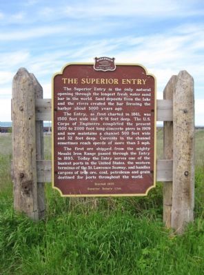
The Superior Entry
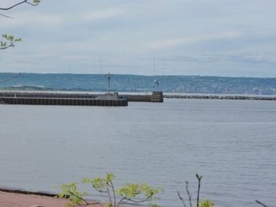
The Entry, as first charted in 1861, was 1500 feet wide and 4-16 feet deep. The U.S. Corps of Engineers completed the present 1500 to 2000 foot long concrete piers in 1909 and now maintains a channel 500 feet wide and 32 feet deep. Currents in the channel sometimes reach speeds of more than 3 mph.
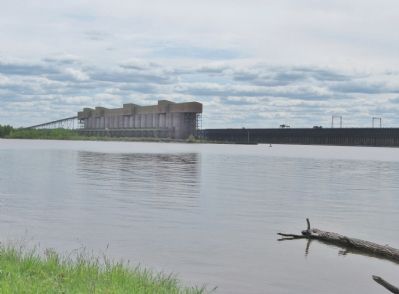
The first ore shipped from the mighty Mesabi Iron Range passed through the Entry in 1893. Today the Entry serves one of the busiest ports in the United States, the western terminus of the St. Lawrence Seaway, and handles cargoes of iron ore, coal, petroleum and grain destined for ports throughout the world.
Superior Rotary Club
Erected 1976 by the Superior Rotary Club; the Wisconsin Historical Society. (Marker Number 231.)
Topics and series. This historical marker is listed in this topic list: Waterways & Vessels. In addition, it is included in the Rotary International, and the Wisconsin Historical Society series lists.
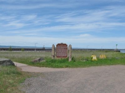
Location. 46° 42.37′ N, 92° 0.839′ W. Marker is in Superior, Wisconsin, in Douglas County. Marker can be reached from Wisconsin Point Road, 3.4 miles north of Moccasin Mike Road. Moccasin Mike Road can be reached from the intersection of US Highway 2 / 53 and County Highway E. Touch for map. Marker is in this post office area: Superior WI 54880, United States of America. Touch for directions.
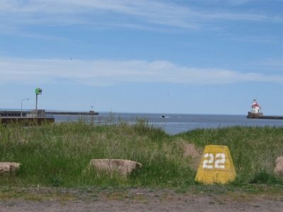
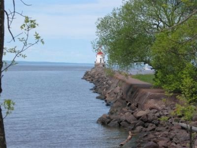
Other nearby markers. At least 8 other markers are within 3 miles of this marker, measured as the crow flies. Superior Entry South Breakwater Light (approx. ¼ mile away); Burial Ground of the Fond du Lac Band (approx. 0.3 miles away); Burlington Northern Ore Docks (approx. 1.1 miles away); Lake Superior (approx. 1.7 miles away); Old Stockade Site (approx. 1.9 miles away); Duluth-Superior Harbor (approx. 1.9 miles away); S.S. Meteor (approx. 2.6 miles away); Wartime Shipbuilding (approx. 2.9 miles away). Touch for a list and map of all markers in Superior.
Also see . . . Superior Entry. Saint Louis River Navigation Channel. (Submitted on June 14, 2011.)
Additional commentary.
1.
Due to the condition of Wisconsin Point Road, an official highway sign advises to proceed at your own risk.
— Submitted June 14, 2011, by Keith L of Wisconsin Rapids, Wisconsin.
Additional keywords. Twin Ports
Credits. This page was last revised on January 28, 2021. It was originally submitted on June 14, 2011, by Keith L of Wisconsin Rapids, Wisconsin. This page has been viewed 1,140 times since then and 94 times this year. Photos: 1, 2, 3, 4, 5, 6, 7. submitted on June 14, 2011, by Keith L of Wisconsin Rapids, Wisconsin.
