Orchard Knob in Chattanooga in Hamilton County, Tennessee — The American South (East South Central)
Battle of Chattanooga.
Nov. 23 - 25, 1863.
Inscription.
[First Tablet]
Nov. 23 - 25, 1863.
—————————
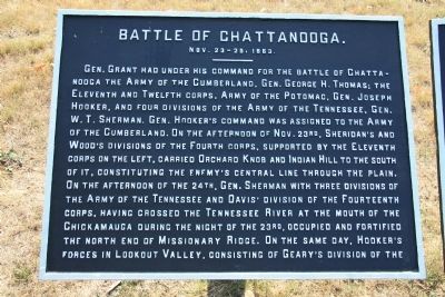
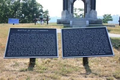
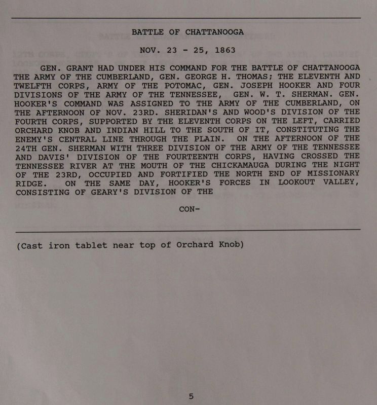
Gen. Grant had under his command for the Battle of Chattanooga the Army of the Cumberland, Gen. George H. Thomas; the Eleventh and Twelfth Corps, Army of the Potomac, Gen. Joseph Hooker, and four divisions of the Army of the Tennessee, Gen. W. T. Sherman. Gen. Hooker's command was assigned to the Army of the Cumberland. On the afternoon of Nov. 23rd, Sheridan's and Wood's divisions of the Fourth corps, supported by the Eleventh corps on the left, carried Orchard Knob and Indian Hill to the south of it, constituting the enemy's central line through the plain. On the afternoon of the 24th, Gen. Sherman with three divisions of the Army of the Tennessee and Davis' division of the Fourteenth corps, having crossed the Tennessee River at the mouth of the Chickamauga during the night of the 23rd, occupied and fortified the north end of Missionary Ridge. On the same day, Hooker's forces in Lookout Valley, consisting of Geary's division of the....
[Second Tablet]
(Battle of Chattanooga continued)
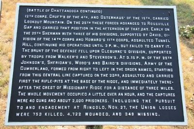
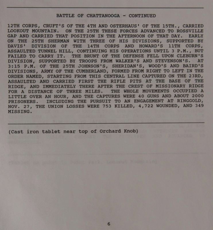
12th corps, Cruft's of the 4th, and Osterhaus' of the 15th, carried Lookout Mountain. On the 25th these forces advanced to Rossville Gap and carried that position in the afternoon of that day. Early on the 25th Sherman with three of his divisions, supported by Davis, division of the 14th corps and Howard's 11th corps, assaulted Tunnel Hill, continuing his operation until 3 p.m., but failed to carry it. The brunt of the defense fell upon Cleburne's division, supported by troops by troops from Walker's and Stevenson's. At 3:15 p.m. of the 25th Johnson's, Sheridan's, Wood's and Baird's divisions, Army of the Cumberland, formed from right to left in the order named, starting from this central line captured on the 23rd, assaulted and carried first the rifle-pits at the base of the ridge, and immediately thereafter the crest of Missionary Ridge for a distance of three miles. The whole movement occupied a little over an hour, and the captures were 40 guns and about 2,000 prisoners. Including the pursuit to and engagement at Ringgold, Nov. 27, the Union losses were 753 killed, 4,722 wounded, and 349 missing.
Erected 1890 by the Chickamauga-Chattanooga National Battlefield Commission. (Marker Number MT-5-6.)
Topics and series. This historical marker is listed in this topic list: War, US Civil. In addition, it is included in the Chickamauga and Chattanooga National Military Park, Orchard Knob Reservation series list. A significant historical year for this entry is 1863.
Location.
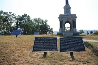
35° 2.379′ N, 85° 16.438′ W. Marker is in Chattanooga, Tennessee, in Hamilton County. It is in Orchard Knob. Marker is on Orchard Knob Avenue north of Ivy Street, on the left when traveling north. These two historical markers are located in the middle of a residential neighborhood, in the city of Chattanooga, a little less than a mile west of Missionary Ridge. They are situated on the crest of the Orchard Knob Reservation, National Military Park and are positioned near the end of the pathway that leads to the crest of the hill from the park entrance at the corner of Ivy Street and Orchard Knob Avenue. Touch for map. Marker is in this post office area: Chattanooga TN 37404, United States of America. Touch for directions.
Other nearby markers. At least 8 other markers are within walking distance of this marker. The State of Maryland (here, next to this marker); Confederate Casualties (here, next to this marker); Union Casualties (a few steps from this marker); Field Headquarters of the Union Armies (a few steps from this marker); Illinois State Monument (a few steps from this marker); Bridges' Battery, Illinois Light Artillery (a few steps from this marker); Fourth Army Corps (a few steps from this marker); The Final Struggle Begins (within shouting distance of this marker). Touch for a list and map of all markers in Chattanooga.
Credits. This page was last revised on February 7, 2023. It was originally submitted on June 16, 2011, by Dale K. Benington of Toledo, Ohio. This page has been viewed 1,088 times since then and 21 times this year. Photos: 1, 2, 3, 4. submitted on June 16, 2011, by Dale K. Benington of Toledo, Ohio. 5, 6. submitted on August 29, 2017, by Dale K. Benington of Toledo, Ohio.
