Prairie du Chien in Crawford County, Wisconsin — The American Midwest (Great Lakes)
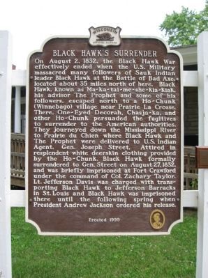
Black Hawk's Surrender
Erected 1999 by the Wisconsin Historical Society. (Marker Number 431.)
Topics and series. This historical marker is listed in this topic list: Wars, US Indian. In addition, it is included in the Black Hawk War, the Former U.S. Presidents: #12 Zachary Taylor, and the Wisconsin Historical Society series lists. A significant historical year for this entry is 1832.
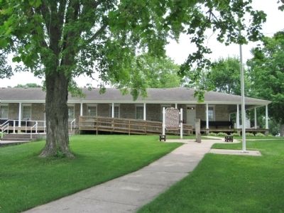
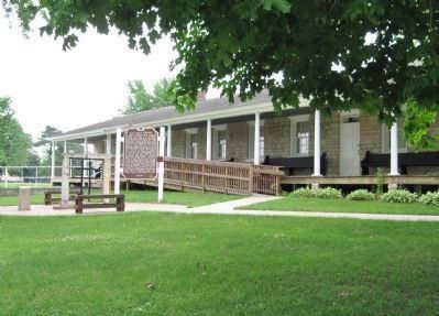
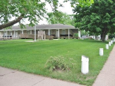
Location. 43° 2.564′ N, 91° 8.8′ W. Marker is in Prairie du Chien, Wisconsin, in Crawford County. Marker is on West Rice Street west of South Beaumont Road, on the right when traveling west. Marker is at the Fort Crawford Museum. Touch for map. Marker is at or near this postal address: 717 South Beaumont Road, Prairie du Chien WI 53821, United States of America. Touch for directions.
Other nearby markers. At least 8 other markers are within walking distance of this marker. William Beaumont, M. D. (a few steps from this marker); Site of the Second Fort Crawford (a few steps from this marker); Jefferson Davis (approx. 0.3 miles away); Pere Marquette and Sieur Jolliet (approx. half a mile away); Prairie du Chien (approx. half a mile away); Prairie du Chien Veterans Memorial (approx. 0.7 miles away); Veterans Memorial (approx. 0.8 miles away); Smoke stacks and paddle wheels (approx. 0.9 miles away). Touch for a list and map of all markers in Prairie du Chien.
Also see . . . Black Hawk (Sauk leader). Wikipedia entry. (Submitted on June 19, 2011.)
Photographed By Keith L, June 18, 2011
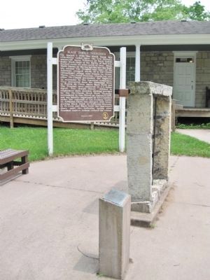
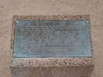
3. Plaque by Marker
This window was once part of the Second Fort Crawford located 100 yards north of this spot. The fort was finished in 1832 and was in use by the U.S. Army until 1856.
This was the fort "guard room" window, originally located mid-way in the west line (enlisted quarters) of barracks. Among the prisoners confined behind these bars were the famous Sac chiefs Blackhawk and The Prophet, who were delivered here for surrender to post commander Col. Zachary Taylor on Aug. 27, 1832, by the Winnebago chiefs One-eyed Decori and Chetar, plus lesser chiefs and the few remaining Sac and Fox braves who survived the so-called "Blackhawk War".
Note the hammered copper lettering in the window cap-stone. The artisan and date of this work are not known.
Photographed By Keith L, June 18, 2011
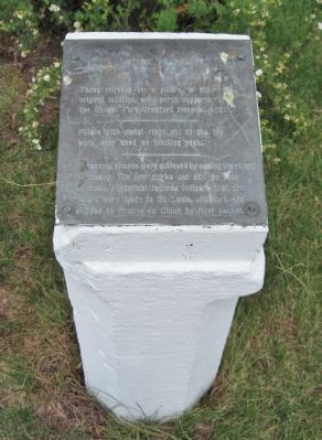
6. Nearby Plaque
Pillars with metal rings set in the top were later used as hitching posts.
Octagonal shapes were achieved by sawing the pillars vertically. The saw marks can still be seen on some. Historical records indicate that the pillars were made in St. Louis, Missouri, and shipped to Prairie du Chien by river packet.
Credits. This page was last revised on August 9, 2022. It was originally submitted on June 19, 2011, by Keith L of Wisconsin Rapids, Wisconsin. This page has been viewed 1,844 times since then and 113 times this year. Photos: 1, 2, 3, 4, 5, 6, 7. submitted on June 19, 2011, by Keith L of Wisconsin Rapids, Wisconsin.
