Boaz in Richland County, Wisconsin — The American Midwest (Great Lakes)
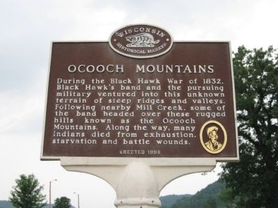
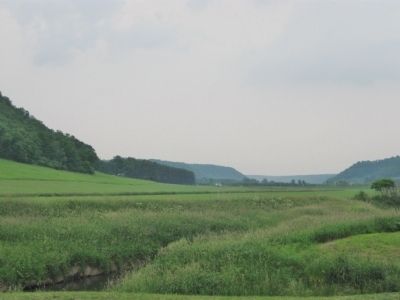
Ocooch Mountains
Erected 1998 by the Wisconsin Historical Society. (Marker Number 402.)
Topics and series. This historical marker is listed in this topic list: Wars, US Indian. In addition, it is included in the Black Hawk War, and the Wisconsin Historical Society series lists. A significant historical year for this entry is 1832.
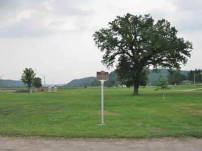
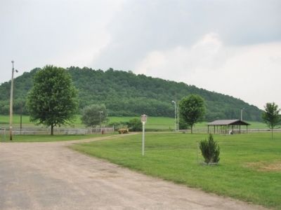
Location. 43° 20.055′ N, 90° 31.577′ W. Marker is in Boaz, Wisconsin, in Richland County. Marker is on County Highway E (State Highway 171) north of Park Drive, on the left when traveling north. Marker is in Boaz Community Park, north of the Boaz Community Building parking lot. Touch for map. Marker is at or near this postal address: 17010 State Highway 171, Richland Center WI 53581, United States of America. Touch for directions.
Other nearby markers. At least 8 other markers are within 12 miles of this marker, measured as the crow flies. Richard M. Brewer (a few steps from this marker); Rural Electrification (approx. 1.3 miles away); Boaz Mastodon (approx. 1.3 miles away); Wisconsin Purple Heart Memorial Highway (approx. 6.6 miles away); Ada James (approx. 6.9 miles away); Birthplace of GTE (approx. 6.9 miles away); Krouskop Park (approx. 6.9 miles away); The Little Rock (approx. 11.2 miles away). Touch for a list and map of all markers in Boaz.
Credits. This page was last revised on December 4, 2020. It was originally submitted on June 19, 2011, by Keith L of Wisconsin Rapids, Wisconsin. This page has been viewed 1,864 times since then and 58 times this year. Photos: 1, 2, 3, 4. submitted on June 19, 2011, by Keith L of Wisconsin Rapids, Wisconsin.


