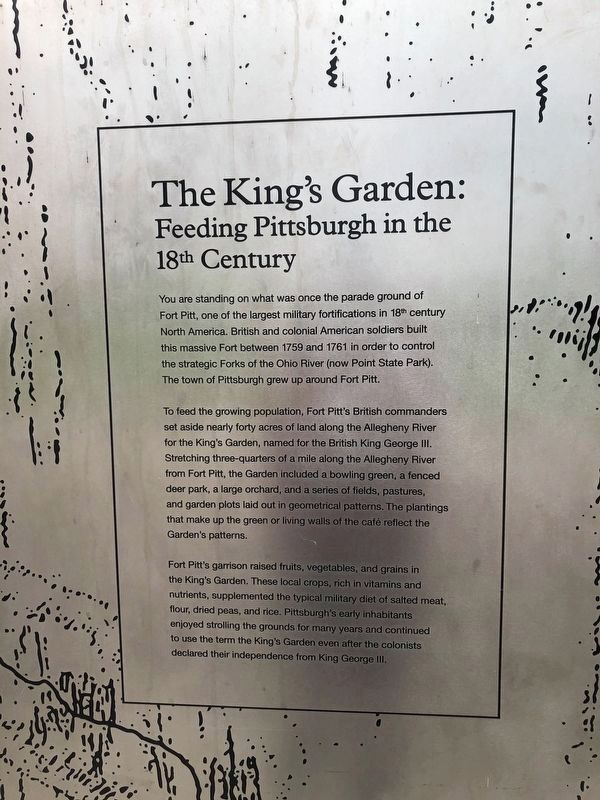
The King's Garden
Feeding Pittsburgh in the 18th Century
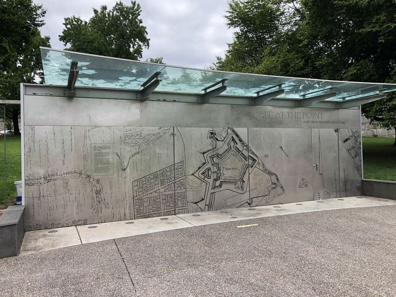
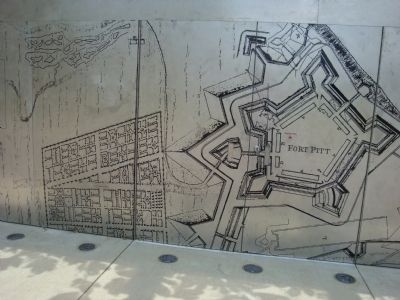
To feed the growing population, Fort Pitt's British commanders set aside nearly forty acres of land along the Allegheny River for the King's Garden, named for the British King George III. Stretching three-quarters of a mile along the Allegheny River from Fort Pitt, the Garden included a bowling green, a fenced deer park, a large orchard, and a series of fields, pastures, and garden plots laid out in geometrical patterns. The plantings that make up the green or living walls of the café reflect the Garden's patterns.
Fort Pitt's garrison raised fruits, vegetables, and grains in the King's Garden. These local crops, rich in vitamins and nutrients, supplemented the typical military diet of salted meat, flour, dried peas, and rice. Pittsburgh's early inhabitants enjoyed strolling around the grounds for many years and continued to use the term the King's Garden even after the colonists declared their independence from King George III.
Erected by
Topics. This historical marker is listed in these topic lists: Agriculture • Forts and Castles • War, French and Indian. A significant historical year for this entry is 1759.
Location. 40° 26.46′ N, 80° 0.504′ W. Marker is in Pittsburgh, Pennsylvania, in Allegheny County. It is in Downtown. Marker can be reached from Three Rivers Heritage Trail. Located on the face of the Café at the Point near in Point State Park, coming from downtown, it sits on the left side of the walkway before the underpass to the park. Touch for map. Marker is in this post office area: Pittsburgh PA 15222, United States of America. Touch for directions.
Other nearby markers. At least 8 other markers are within walking distance of this marker. Welcome to Point State Park (within shouting distance of this marker); Wall Section Through Rampart of Fort Pitt (about 300 feet away, measured in a direct line); Flag Bastion (about 300 feet away); Forks of the Ohio Fort Pitt Blockhouse (about 400 feet away); The Site of Fort Pitt (about 400 feet away); Edith Darlington Ammon (about 400 feet away); The Venango Path (about 500 feet away); The Forks of the Ohio (about 500 feet away). Touch for a list and map of all markers in Pittsburgh.
Also see . . . Fort Pitt gardens fed area's early settlers. Article published in Pittsburgh Post-Gazette, Saturday, March 14, 2009 (Submitted on June 20, 2011, by Mike Wintermantel of Pittsburgh, Pennsylvania.)
Credits. This page was last revised on February 2, 2023. It was originally submitted on June 20, 2011, by Mike Wintermantel of Pittsburgh, Pennsylvania. This page has been viewed 1,067 times since then and 30 times this year. Photos: 1, 2. submitted on September 15, 2020, by Devry Becker Jones of Washington, District of Columbia. 3, 4, 5, 6. submitted on June 20, 2011, by Mike Wintermantel of Pittsburgh, Pennsylvania. • Bill Pfingsten was the editor who published this page.


