Kingville in Richland County, South Carolina — The American South (South Atlantic)
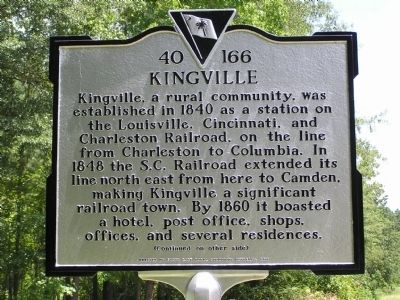
Kingville
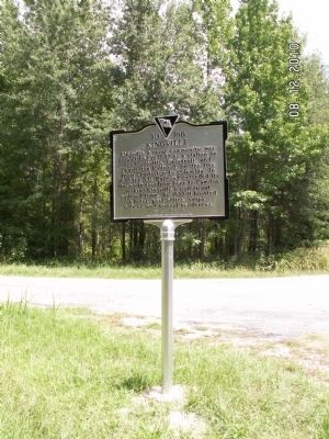
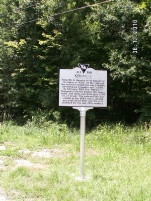
Kingville, a rural community, was established in 1840 as a station on the Louisville, Cincinnati, and Charleston Railroad, on the line from Charleston to Columbia. In 1848 the S.C. Railroad extended its line north east from here to Camden, making Kingville a significant railroad town. By 1860 it boasted a hotel, post office, shops, offices, and several residences.
(Reverse):
Kingville is thought to be named for its status as “king” of the railroad line between Charleston and Columbia and between Columbia and Camden. In February 1865 Gen. William T. Sherman’s Federals burned the depot, hotel, and sheds and destroyed 3,000 ft. of track. The railroad line was rebuilt in the 1880s and a sawmill was built about 1900, but the area declined by the mid-20th century.
Erected 2010 by South East Rural Community Outreach. (Marker Number 40-166.)
Topics. This historical marker is listed in these topic lists: Railroads & Streetcars • War, US Civil. A significant historical month for this entry is February 1865.
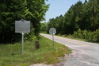
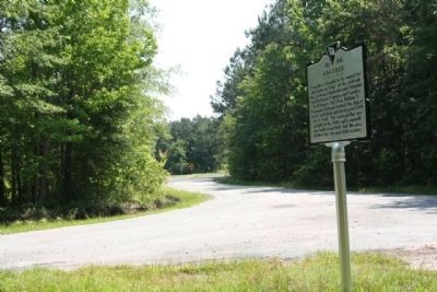
Location. 33° 48.333′ N, 80° 41.971′ W. Marker is in Kingville, South Carolina, in Richland County. Marker is at the intersection of Griffin Creek Road (State Highway 40-489) and Kingville Road, on the right when traveling south on Griffin Creek Road. Touch for map. Marker is in this post office area: Gadsden SC 29052, United States of America. Touch for directions.
Other nearby markers. At least 8 other markers are within 5 miles of this marker, measured as the crow flies. Richland Presbyterian Church (approx. 2.7 miles away); Site of Rebecca Motte's Home (approx. 3.6 miles away); St. Phillip A.M.E. Church (approx. 4.2 miles away); Congaree River Ferries (approx. 4.4 miles away); John M. Bates Bridge (approx. 4.6 miles away); Gadsden (approx. 4.9 miles away); Kensington (approx. 5 miles away); Eastover (approx. 5 miles away).
Credits. This page was last revised on June 16, 2016. It was originally submitted on June 21, 2011, by Anna Inbody of Columbia, South Carolina. This page has been viewed 1,848 times since then and 155 times this year. Photos: 1, 2. submitted on June 21, 2011, by Anna Inbody of Columbia, South Carolina. 3, 4. submitted on June 23, 2011, by Mike Stroud of Bluffton, South Carolina. 5, 6. submitted on June 21, 2011, by Anna Inbody of Columbia, South Carolina. • Craig Swain was the editor who published this page.
