Stillwater in Washington County, Minnesota — The American Midwest (Upper Plains)
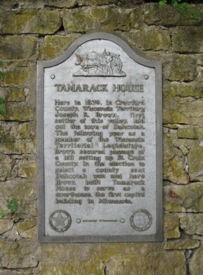
Tamarack House
Erected 1954 by the Minnesota Department of Highways and Minnesota Historical Society. (Marker Number WA-SWC-714.)
Topics and series. This historical marker is listed in these topic lists: Government & Politics • Settlements & Settlers. In addition, it is included in the Minnesota Historical Society series list. A significant historical year for this entry is 1839.
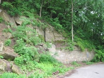
Location. 45° 4.263′ N, 92° 48.416′ W. Marker is in Stillwater, Minnesota, in Washington County. Marker is on North Main Street (State Highway 95) 0.6 miles north of Elm Street East, on the left when traveling north. The marker is at a small roadside parking area. Touch for map. Marker is in this post office area: Stillwater MN 55082, United States of America. Touch for directions.
Other nearby markers. At least 8 other markers are within walking distance of this marker. Indian Battleground (approx. 0.6 miles away); The Warden's House (approx. 0.7 miles away); See You on the Trail / From Small Springs (approx. 0.7 miles away); St. Croix Lumber Mills / Stillwater Manufacturing Company (approx. 0.8 miles away); Glacial Landscape (approx. 0.9 miles away in Wisconsin); Loop Trail Fun Facts (approx. 0.9 miles away in Wisconsin); Lower St. Croix River Sandbars (approx. one mile away in Wisconsin); Town of St. Joseph (approx. one mile away in Wisconsin). Touch for a list and map of all markers in Stillwater.
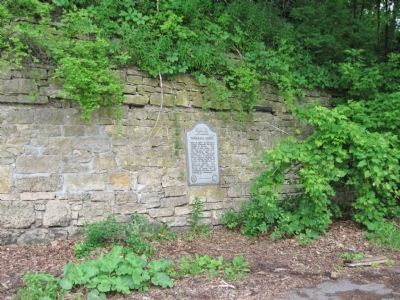
More about this marker. The marker is mounted on a limestone wall that is built into the side of a natural bluff. This wall was originally the back wall of the four-story Knipps Brewery that was built on this site in the 1860s. The building was razed in 1935, and the back wall of the stone brewery was left in place as a retaining wall.
Also see . . .
1. Joseph R. Brown. Wikipedia entry. (Submitted on June 25, 2011.)
2. Minnesota Department of Transportation. Historic Roadside Development Structures Inventory. (Submitted on June 25, 2011.)
Credits. This page was last revised on September 20, 2023. It was originally submitted on June 25, 2011, by Keith L of Wisconsin Rapids, Wisconsin. This page has been viewed 785 times since then and 63 times this year. Last updated on September 19, 2023, by McGhiever of Minneapolis, Minnesota. Photos: 1, 2, 3. submitted on June 25, 2011, by Keith L of Wisconsin Rapids, Wisconsin. • J. Makali Bruton was the editor who published this page.


