Holly Hill in Orangeburg County, South Carolina — The American South (South Atlantic)
Target Methodist Church
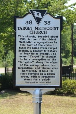
This church, founded about 1800, is one of the oldest Methodist congregations in this part of the state. It takes its name from Target Branch, a nearby tributary of Four Holes Swamp. The name “Target” is thought to be a corruption of the “tar gates” along the edges of the swamp, where tar, turpentine, and timber were harvested. It held its first services in a brush arbor, with a sycamore stump for a pulpit.
(Reverse text)
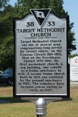
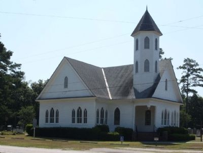
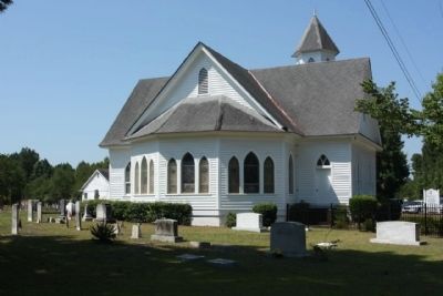
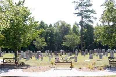
Target Methodist Church was one of several area congregations long served by circuit riders, on the Cypress Circuit 1810-1855, then on the Providence Circuit 1855-1916. Its first permanent church, a log building, was rebuilt as a frame sanctuary in 1830. A second frame church built in 1873 was replaced by the present sanctuary in 1920. The cemetery here includes graves dating as early as 1820.
Erected 2010 by Erected by the Congregation. (Marker Number 38-33.)
Topics. This historical marker is listed in this topic list: Churches & Religion. A significant historical year for this entry is 1800.
Location. 33° 20.239′ N, 80° 27.017′ W. Marker is in Holly Hill, South Carolina, in Orangeburg County. Marker is on Branch Ford Road (State Highway 314) near Target Road (State Highway 38-68), on the right when traveling east. Touch for map. Marker is in this post office area: Holly Hill SC 29059, United States of America. Touch for directions.
Other nearby markers. At least 8 other markers are within 9 miles of this marker, measured as the crow flies. Holly Hill (approx. 2.4 miles away); a different marker also named Holly Hill (approx. 2.4 miles away); Astronaut Frank L. Culbertson, Jr. (approx. 5.8 miles away); Providence Methodist Church (approx. 6˝ miles away); Bart's Corner (approx. 6˝ miles away); Berkeley County (approx. 7.1 miles away); Eutawville (approx. 7.6 miles away); Harleyville (approx. 8˝ miles away). Touch for a list and map of all markers in Holly Hill.
Credits. This page was last revised on June 16, 2016. It was originally submitted on June 26, 2011, by Mike Stroud of Bluffton, South Carolina. This page has been viewed 617 times since then and 25 times this year. Photos: 1, 2, 3, 4, 5. submitted on June 27, 2011, by Mike Stroud of Bluffton, South Carolina.
