Brevard in Transylvania County, North Carolina — The American South (South Atlantic)
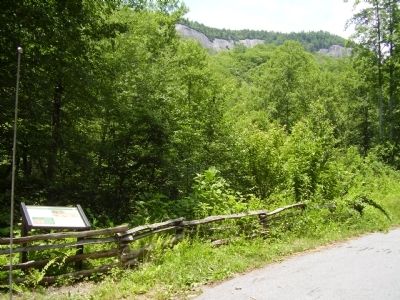
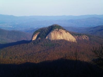
Looking Glass Rock
Timber, however, remained the major source of revenue for Pisgah Forest. Trees were valued at fifty cents per 1,000 board feet. Between 1896 and 1897 Tom Morrow, an old lumberman employed at the Biltmore Estate, estimated that the forests bordering Looking Glass Creek contained 7,942 marketable tulip poplars. Forest included railroad ties, shingles, and tanbark, used for tanning leather.
(sidebar)
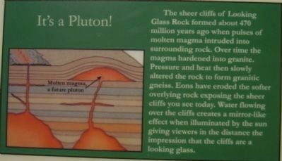
It's a Pluton!
The sheer cliffs of Looking Glass Rock formed about 470 million years ago when pulses of molten magma intruded into surrounding rock. Over time the magma hardened into granite. Pressure and heat then slowly altered the rock to form granitic gneiss. Eons have eroded the softer overlying rock exposing the sheer cliffs you see today. Water flowing over the cliffs creates a mirror-like effect when illuminated by the sun giving viewers in the distance the impression that the cliffs are a looking glass.
Erected by Pisgah National Forest, US Forest Service.
Topics. This historical marker is listed in this topic list: Horticulture & Forestry. A significant historical year for this entry is 1895.
Location. 35° 18.235′ N, 82° 46.624′ W. Marker is in Brevard, North Carolina, in Transylvania County. Marker is on U.S. 276, 1.7 miles north of National Forest 475 Road. Touch for map. Marker is in this post office area: Brevard NC 28712, United States of America. Touch for directions.
Other nearby markers. At least 8 other markers are within 4 miles of this marker, measured as the crow flies. Getting Out the Timber (approx. 0.7 miles away); Civilian Conservation Corps (approx. 0.9 miles away); a different marker also named Looking Glass Rock (approx. 3.1 miles away); Forestry School (approx. 3.2 miles away); Moon Tree (approx. 3.3 miles away); Schoolhouse (approx. 3.3 miles away); Biltmore Forest School (approx. 3.3 miles away); Draw Road (approx. 3.3 miles away). Touch for a list and map of all markers in Brevard.
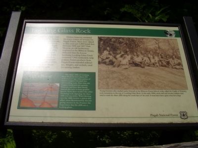
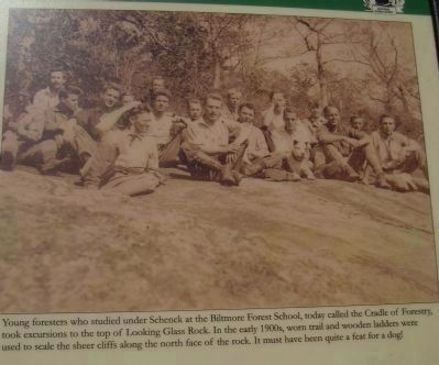
More about this marker. On the right is photo with the caption, "Young foresters who studied under Schenck at the Biltmore Forest School, today called the Cradle of Forestry, took excursions to the top of Looking Glass Rock. in the early 1900s, worn trail and wooden ladders were used to scale the sheer cliffs along the north face of the rock. It mus have been quite a feat for a dog!"
Credits. This page was last revised on June 16, 2016. It was originally submitted on June 26, 2011, by Stanley and Terrie Howard of Greer, South Carolina. This page has been viewed 610 times since then and 17 times this year. Photos: 1, 2, 3, 4, 5. submitted on June 26, 2011, by Stanley and Terrie Howard of Greer, South Carolina. 6. submitted on June 27, 2011, by Bernard Fisher of Richmond, Virginia. • Bernard Fisher was the editor who published this page.
