Near Knife River in Lake County, Minnesota — The American Midwest (Upper Plains)
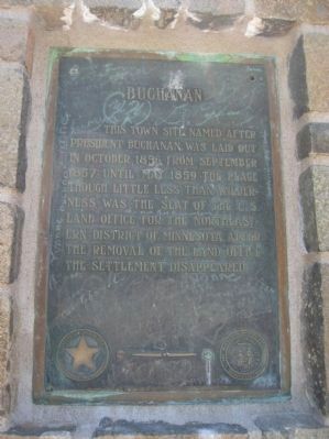
Buchanan
Erected 1940 by the State of Minnesota Department of Highways and Minnesota Historical Society.
Topics and series. This historical marker is listed in this topic list: Settlements & Settlers. In addition, it is included in the Former U.S. Presidents: #15 James Buchanan, and the Minnesota Historical Society series lists. A significant historical year for this entry is 1856.
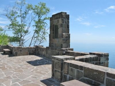
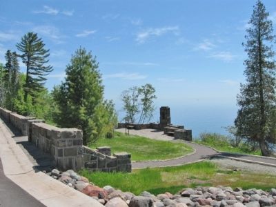
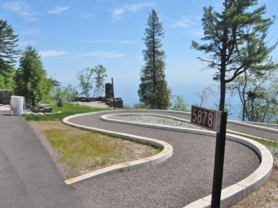
Location. 46° 56.091′ N, 91° 48.311′ W. Marker is near Knife River, Minnesota, in Lake County. Marker is on North Shore Drive (County Highway 61) 0.8 miles south of Old North Shore Road (County Road 290), on the left when traveling south. Marker is at a roadside parking area along the shore of Lake Superior. Touch for map. Marker is at or near this postal address: 5878 North Shore Drive, Knife River MN 55609, United States of America. Touch for directions.
Other nearby markers. At least 8 other markers are within 9 miles of this marker, measured as the crow flies. The Arthur V. Rohweder Memorial Highway (approx. 1.1 miles away); Clifton–French River (approx. 5 miles away); Two Harbors Iron Ore Docks (approx. 8½ miles away); Edna G. (approx. 8½ miles away); Agate Bay Light Station (approx. 8½ miles away); Welcome to Paul H. Van Hoven Park (approx. 8½ miles away); Agate Bay Commercial Fishing Village (approx. 8.6 miles away); Agate Bay Breakwater (approx. 8.6 miles away).
Credits. This page was last revised on June 16, 2016. It was originally submitted on June 27, 2011, by Keith L of Wisconsin Rapids, Wisconsin. This page has been viewed 972 times since then and 31 times this year. Photos: 1, 2, 3, 4. submitted on June 27, 2011, by Keith L of Wisconsin Rapids, Wisconsin.


