Horseheads in Chemung County, New York — The American Northeast (Mid-Atlantic)
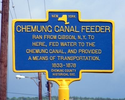
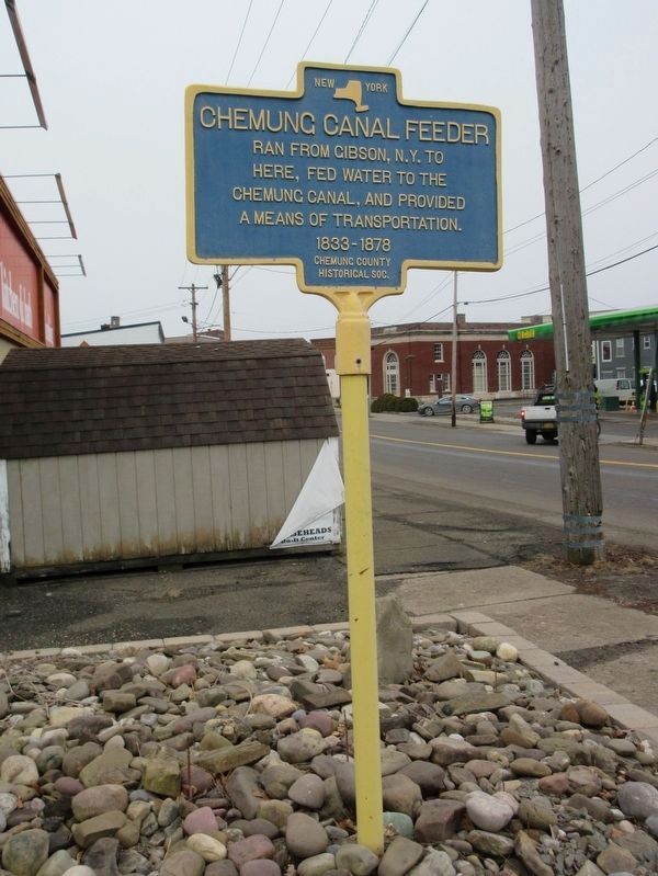
Chemung Canal Feeder
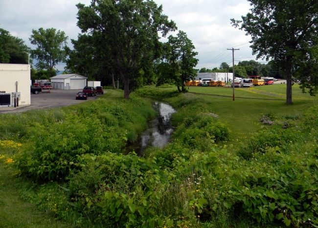
Ran from Gibson, N.Y. to here, fed water to the Chemung Canal, and provided a means of transportation. 1833-1878
Erected by Chemung County Historical Society.
Topics. This historical marker is listed in this topic list: Waterways & Vessels.
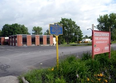
Location. 42° 10.118′ N, 76° 49.305′ W. Marker is in Horseheads, New York, in Chemung County. Marker is on North Main Street (New York State Route 14) 0.1 miles north of Old Ithaca Street, on the right when traveling north. Touch for map. Marker is at or near this postal address: 124 North Main Street, Horseheads NY 14845, United States of America. Touch for directions.
Other nearby markers. At least 8 other markers are within 4 miles of this marker, measured as the crow flies. Horseheads (about 500 feet away, measured in a direct line); a different marker also named Horseheads (approx. 0.2 miles away); Chemung Railway Depot (approx. 0.2 miles away); Zim Bandstand (approx. 0.3 miles away); Routes of the Armies of General John Sullivan and General James Clinton (approx. half a mile away); World War Memorial (approx. 2.8 miles away); World War II Memorial (approx. 2.9 miles away); Eldridge Park (approx. 3.7 miles away). Touch for a list and map of all markers in Horseheads.
Also see . . . The Chemung Canal. Canal website homepage (Submitted on December 23, 2021, by Larry Gertner of New York, New York.)
Credits. This page was last revised on February 25, 2023. It was originally submitted on June 28, 2011, by PaulwC3 of Northern, Virginia. This page has been viewed 1,188 times since then and 50 times this year. Photos: 1. submitted on June 28, 2011, by PaulwC3 of Northern, Virginia. 2. submitted on February 22, 2023, by Mira Earls of Cortland, New York. 3, 4. submitted on June 28, 2011, by PaulwC3 of Northern, Virginia.


