Fort Ripley in Crow Wing County, Minnesota — The American Midwest (Upper Plains)
Fort Ripley
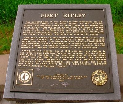
The establishment of Fort Ripley in 1848 represents the U.S. government’s effort to establish control on the northern frontier. Construction began on the west bank of the Mississippi River across from this point a year before Minnesota became a territory. The government intended it to be a buffer between lands of the Dakota and the Ojibwe and to protect the Ho-Chunk (Winnebago) who had been unwillingly moved from their land in Wisconsin Territory as part of the buffer.
Originally known as Fort Marcy and later Fort Gaines, the name was changed to Fort Ripley in 1850. Its presence encouraged further settlement of Euro-American immigrants. With demands to open more land for settlement, the fort was briefly closed, but concerns about conflict between the new immigrants and the Ojibwe caused it to be reoccupied.
During the U.S.-Dakota War of 1862 settlers took shelter in the fort’s frame buildings fearing mistakenly that the Ojibwe would join the war. A fire destroyed most of the buildings in 1877, and Fort Ripley was abandoned in 1880. The masonry ruins of a powder magazine are the only visible remains although a rich archaeological site still exists. The site is now within Camp Ripley Military Reservation operated by the Minnesota National Guard.
Erected 2003 by The Minnesota Department of Transportation and The Minnesota Historical Society.
Topics and series. This historical marker is listed in these topic lists: Forts and Castles • Settlements & Settlers • Wars, US Indian. In addition, it is included in the Minnesota Historical Society series list. A significant historical year for this entry is 1848.
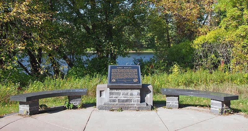
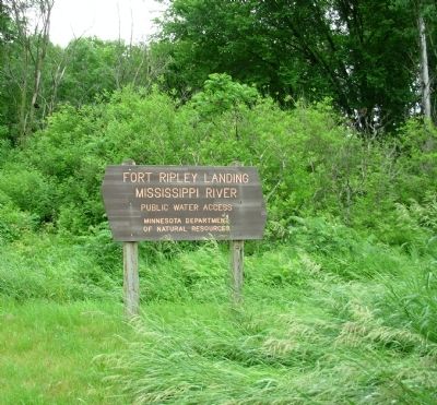
Location. 46° 10.781′ N, 94° 21.882′ W. Marker is in Fort Ripley, Minnesota, in Crow Wing County. Marker is on Ferry Road, 0.2 miles south of Minnesota Highway 371, on the right when traveling south. Marker is located at the Fort Ripley Boat Landing. Touch for map. Marker is in this post office area: Fort Ripley MN 56449, United States of America. Touch for directions.
Other nearby markers. At least 8 other markers are within 11 miles of this marker, measured as the crow flies. Old Crow Wing (approx. 6.7 miles away); Chapel of St. Francis Xavier (approx. 6.8 miles away); 99th Infantry Battalion (Sep) activated at Camp Ripley August 1942 (approx. 6.9 miles away); Belle Prairie Church and Log Cabin (approx. 10.2 miles away); Franciscan Sisters of the Immaculate Conception (approx. 10.2 miles away); Holy Family Parish (approx. 10.2 miles away); Log Cabin (approx. 10.2 miles away); Site of Foundation of the Missionary Franciscan Sisters of the Immaculate Conception (approx. 10.2 miles away).
Credits. This page was last revised on January 26, 2021. It was originally submitted on June 29, 2011, by Paul Fehrenbach of Germantown, Wisconsin. This page has been viewed 1,649 times since then and 39 times this year. Photos: 1, 2. submitted on June 29, 2011, by Paul Fehrenbach of Germantown, Wisconsin. 3. submitted on February 16, 2020, by McGhiever of Minneapolis, Minnesota. 4, 5. submitted on June 29, 2011, by Paul Fehrenbach of Germantown, Wisconsin. • Bernard Fisher was the editor who published this page.


