Fort Riley in Geary County, Kansas — The American Midwest (Upper Plains)
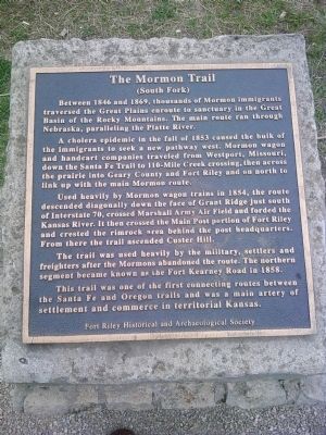
The Mormon Trail
(South Fork)
A cholera epidemic in the fall of 1853 caused the bulk of the immigrants to seek a new pathway west. Mormon wagon and handcart companies traveled from Westport, Missouri, down the Santa Fe Trail to 110-Mile Creek crossing, then across the prairie into Geary County and Fort Riley and on north to link up with the main Mormon route.
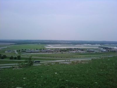
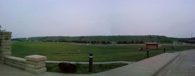
Used heavily by Mormon wagon trains in 1854, the route descended diagonally down the face of Grant Ridge just south of Interstate 70, crossed Marshall Army Air Field and forded the Kansas River. It then crossed the Main Post portion of Fort Riley and crested the rimrock area behind the post headquarters. From there the trail ascended Custer Hill.
The trail was used heavily by the military, settlers and freighters after the Mormons abandoned the route. The northern segment became known as the Fort Kearney Road in 1858.
This trail was one of the first connecting routes between the Santa Fe and Oregon trails and was a main artery of settlement and commerce in territorial Kansas.
Erected by Fort Riley Historical and Archaeological Society.
Topics and series. This historical marker is listed in these topic lists: Exploration • Forts and Castles • Roads & Vehicles • Settlements & Settlers. In addition, it is included in the Mormon Pioneer Trail series list. A significant historical year for this entry is 1846.
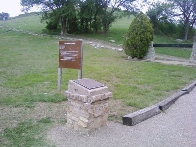
Location. 39° 2.271′ N, 96° 45.924′ W. Marker is in Fort Riley, Kansas, in Geary County. Marker can be reached from the intersection of Henry Drive and Interstate 70. Located in a small park just south of Exit 301. Touch for map. Marker is in this post office area: Junction City KS 66441, United States of America. Touch for directions.
Other nearby markers. At least 8 other markers are within 2 miles of this marker, measured as the crow flies. The Atomic Cannon (here, next to this marker); Private Robert T. Henry Bridge (approx. 1.4 miles away); East Riding Hall (approx. 1.9 miles away); "Duty" (approx. 1.9 miles away); M3A1 37 mm Anti-Tank Gun (approx. 1.9 miles away); M3 Personnel Carrier Half-Track (approx. 2 miles away); M24 Chaffee Light Tank (approx. 2 miles away); M36 Tank Destroyer (approx. 2 miles away). Touch for a list and map of all markers in Fort Riley.
Also see . . . The Mormon Trail (Road) in Kansas Territory. (Submitted on June 30, 2011, by Bernard Fisher of Richmond, Virginia.)
Credits. This page was last revised on June 16, 2016. It was originally submitted on June 29, 2011, by Lee Hattabaugh of Capshaw, Alabama. This page has been viewed 1,091 times since then and 21 times this year. Photos: 1, 2, 3, 4. submitted on June 29, 2011, by Lee Hattabaugh of Capshaw, Alabama. • Bernard Fisher was the editor who published this page.


