Danvers in Essex County, Massachusetts — The American Northeast (New England)
Danversport
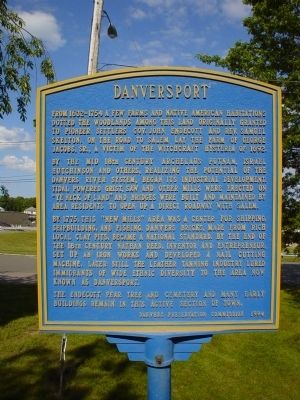
From 1632-1754 a few farms and native American habitations dotted the woodlands among this land originally granted to pioneer settlers Gov. John Endecott and Rev. Samuel Skelton. On the road to Salem lay the farm of George Jacobs, Sr., a victim of the witchcraft hysteria of 1692.
By the mid 18th century Archelaus Putnam, Israel Hutchinson and others, realizing the potential of the Danvers river system, began its industrial development. Tidal powered grist, saw and other mills were erected on "Ye neck of land" and bridges were built and maintained by area residents to open up a direct roadway with Salem.
By 1775, this "New mills" area was a center for shipping, shipbuilding, and fishing. Danvers bricks, made from rich local clay pits, became a national standard. By the end of the 18th century Nathan Reed, inventor and entrepreneur, set up an iron works and developed a nail cutting machine. Later still the leather tanning industry lured immigrant of wide ethnic diversity to the area now known as Danversport.
The Endecott Pear Tree and cemetery and many early buildings remain in this active section of town.
Erected 1994 by Danvers Preservation Commission.
Topics. This historical marker is listed in these topic lists: Colonial Era • Industry & Commerce • Settlements & Settlers. A significant historical year for this entry is 1692.
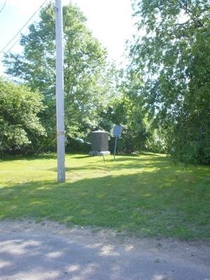
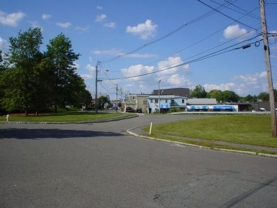
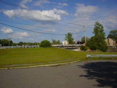
Location. 42° 33.133′ N, 70° 55.536′ W. Marker is in Danvers, Massachusetts, in Essex County. Marker is on Water Street, on the left when traveling north. Touch for map. Marker is at or near this postal address: 30 Water Street, Danvers MA 01923, United States of America. Touch for directions.
Other nearby markers. At least 8 other markers are within 2 miles of this marker, measured as the crow flies. Site of Israel Hutchinson's Home / Israel Hutchinson (here, next to this marker); In Commemoration of Arnold's Expedition to Quebec (approx. one mile away); Anne L. Page (approx. 1.1 miles away); The Plains (approx. 1.1 miles away); Rebecca Nurse Homestead (approx. 1.2 miles away); John Southwick House (approx. 1.6 miles away); Samuel Holten House (approx. 1.8 miles away); Planters Path to their Landing Place (approx. 1.8 miles away). Touch for a list and map of all markers in Danvers.
Credits. This page was last revised on June 16, 2016. It was originally submitted on June 29, 2011, by Michael Tiernan of Danvers, Massachusetts. This page has been viewed 910 times since then and 29 times this year. Photos: 1, 2, 3, 4. submitted on June 29, 2011, by Michael Tiernan of Danvers, Massachusetts. • Bill Pfingsten was the editor who published this page.


