Clifton in Cincinnati in Hamilton County, Ohio — The American Midwest (Great Lakes)
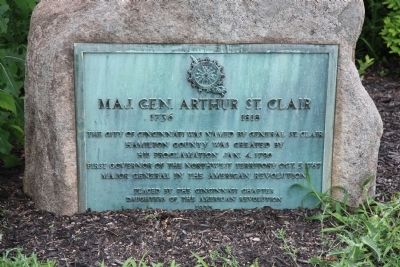
Maj. Gen. Arthur St. Clair
1736 - 1818
1736 - 1818
The city of Cincinnati was named by General St. Clair
Hamilton County was created by
His proclamation Jan. 4, 1790
First governor of the Northwest Territory Oct. 5, 1787
Major General in the American Revolution
Erected 1935 by the Cincinnati Chapter Daughters of the American Revolution.
Topics and series. This historical marker is listed in this topic list: War, US Revolutionary. In addition, it is included in the Daughters of the American Revolution series list. A significant historical date for this entry is January 4, 1790.
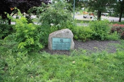
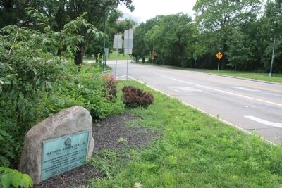
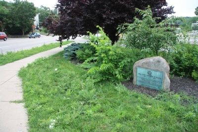
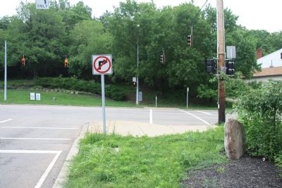
Location. 39° 9.175′ N, 84° 32.173′ W. Marker is in Cincinnati, Ohio, in Hamilton County. It is in Clifton. Marker is at the intersection of Central Parkway (U.S. 127) and Ludlow Avenue, on the right when traveling north on Central Parkway. This historical marker is a plaque that is affixed to a half buried boulder, that is located on a traffic island at the northern end of where the Central Parkway ends in a "T" intersection with Ludlow Avenue. Touch for map. Marker is in this post office area: Cincinnati OH 45220, United States of America. Touch for directions.
Other nearby markers. At least 8 other markers are within 2 miles of this marker, measured as the crow flies. Clifton Jewish Cemetery (approx. 0.6 miles away); Ludlow's Station (approx. 0.6 miles away); Camp Washington World War Memorial (approx. ¾ mile away); Spring Grove Cemetery & Arboretum (approx. 0.9 miles away); The Probasco Fountain (approx. one mile away); Lloyd House (approx. one mile away); Greendale (approx. one mile away); Spring Grove Cemetery (approx. 1.1 miles away). Touch for a list and map of all markers in Cincinnati.
Credits. This page was last revised on February 4, 2023. It was originally submitted on July 1, 2011, by Dale K. Benington of Toledo, Ohio. This page has been viewed 1,028 times since then and 31 times this year. Photos: 1, 2, 3, 4, 5. submitted on July 1, 2011, by Dale K. Benington of Toledo, Ohio.
