Fort Scott in Bourbon County, Kansas — The American Midwest (Upper Plains)
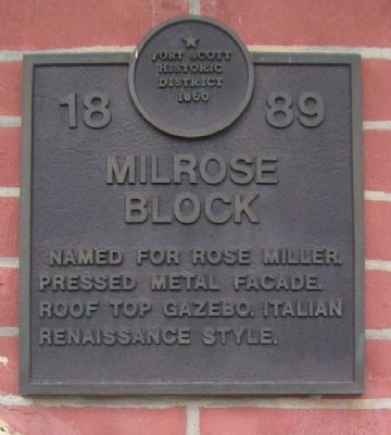
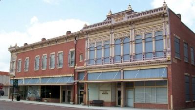
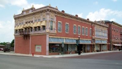
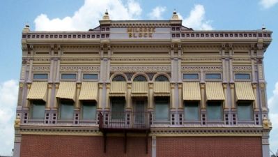
Milrose Block
1889
— Fort Scott Historic District 1860 —
Topics. This historical marker is listed in these topic lists: Architecture • Women.
Location. 37° 50.52′ N, 94° 42.419′ W. Marker is in Fort Scott, Kansas, in Bourbon County. Marker is on Wall Street near National Avenue, on the left when traveling east. Touch for map. Marker is at or near this postal address: 7½ East Wall Street, Fort Scott KS 66701, United States of America. Touch for directions.
Other nearby markers. At least 8 other markers are within walking distance of this marker. C. F. Drake Building (within shouting distance of this marker); Star Clothing House (about 300 feet away, measured in a direct line); Bank of Fort Scott (about 300 feet away); 20th Century Veterans' Memorial (about 400 feet away); Medal of Honor (about 400 feet away); Gordon Parks (about 500 feet away); Fort Scott (about 500 feet away); The Sites and People of Fort Scott (about 500 feet away). Touch for a list and map of all markers in Fort Scott.
Also see . . . Fort Scott Downtown Historic District National Register Nomination. (Submitted on July 4, 2011, by William Fischer, Jr. of Scranton, Pennsylvania.)
Credits. This page was last revised on September 3, 2020. It was originally submitted on July 4, 2011, by William Fischer, Jr. of Scranton, Pennsylvania. This page has been viewed 557 times since then and 17 times this year. Photos: 1, 2, 3, 4, 5. submitted on July 4, 2011, by William Fischer, Jr. of Scranton, Pennsylvania.
