East Liverpool in Columbiana County, Ohio — The American Midwest (Great Lakes)
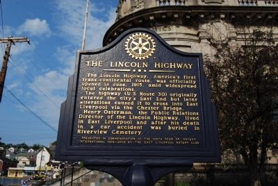
The Lincoln Highway
Erected 2005 by East Liverpool Rotary Club.
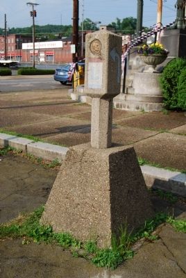
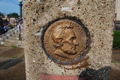
Topics and series. This historical marker is listed in this topic list: Roads & Vehicles. In addition, it is included in the Lincoln Highway, and the Rotary International series lists. A significant historical month for this entry is June 1915.
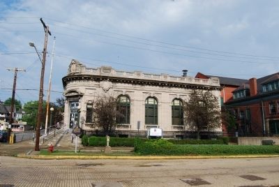
Location. 40° 37.102′ N, 80° 34.637′ W. Marker is in East Liverpool, Ohio, in Columbiana County. Marker is on Broadway Street near East 5th Street, on the right when traveling north. Located on the sidewalk next to the Museum of Ceramics. Touch for map. Marker is in this post office area: East Liverpool OH 43920, United States of America. Touch for directions.
Other nearby markers. At least 8 other markers are within walking distance of this marker. Bradshaw's Hall (within shouting distance of this marker); Locke's Building (within shouting distance of this marker); I.O.O.F. Building (about 300 feet away, measured in a direct line); Carnegie Public Library (about 300 feet away); Mary Patterson Memorial Building (about 300 feet away); Isaac Knowles - Knowles Block (about 300 feet away); Central School (about 400 feet away); Potters National Bank Building (about 400 feet away). Touch for a list and map of all markers in East Liverpool.
Also see . . . The Lincoln Highway Association. Highlights of the Lincoln Highway. Discover the landscape and attractions along the Lincoln Highway as it winds its way from New York to San Francisco. (Submitted on November 21, 2011, by Mike Wintermantel of Pittsburgh, Pennsylvania.)
Credits. This page was last revised on June 16, 2016. It was originally submitted on July 4, 2011, by Mike Wintermantel of Pittsburgh, Pennsylvania. This page has been viewed 835 times since then and 25 times this year. Photos: 1, 2, 3, 4. submitted on July 4, 2011, by Mike Wintermantel of Pittsburgh, Pennsylvania.


