West Nyack in Rockland County, New York — The American Northeast (Mid-Atlantic)
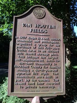
Van Houten Fields
Erected by Historical Society of Rockland County.
Topics and series. This historical marker is listed in these topic lists: Agriculture • Arts, Letters, Music • Education • Settlements & Settlers. In addition, it is included in the New York, Historical Society of Rockland County series list. A significant historical year for this entry is 1937.
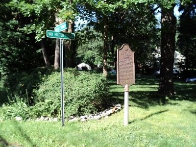
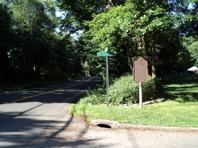
Location. 41° 5.336′ N, 73° 58.321′ W. Marker is in West Nyack, New York, in Rockland County. Marker is at the intersection of Sickletown Road and Vanhouten Fields, on the right when traveling south on Sickletown Road. Touch for map. Marker is in this post office area: West Nyack NY 10994, United States of America. Touch for directions.
Other nearby markers. At least 8 other markers are within walking distance of this marker. Clarksville (approx. 0.3 miles away); Clarksville Inn (approx. 0.4 miles away); The Nyack Turnpike (approx. 0.4 miles away); West Nyack's Last Horse Trough (approx. 0.6 miles away); Mount Moor Cemetery (approx. 0.8 miles away); The Old Parsonage (approx. 0.9 miles away); West Nyack World War I Memorial (approx. 0.9 miles away); Clarkstown Reformed Church (approx. 0.9 miles away). Touch for a list and map of all markers in West Nyack.
Credits. This page was last revised on January 20, 2020. It was originally submitted on July 5, 2011, by Bill Coughlin of Woodland Park, New Jersey. This page has been viewed 1,458 times since then and 86 times this year. Photos: 1, 2, 3. submitted on July 5, 2011, by Bill Coughlin of Woodland Park, New Jersey.


