Near Lodgepole Village, Sequoia National Park in Tulare County, California — The American West (Pacific Coastal)
Middle Fork Canyon
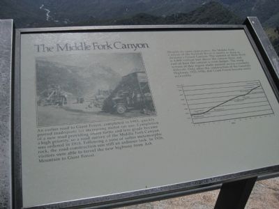
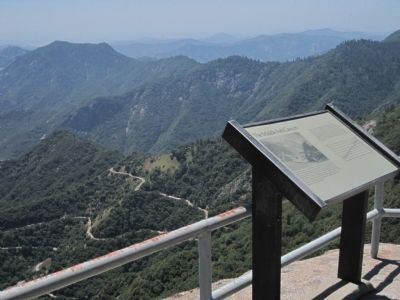
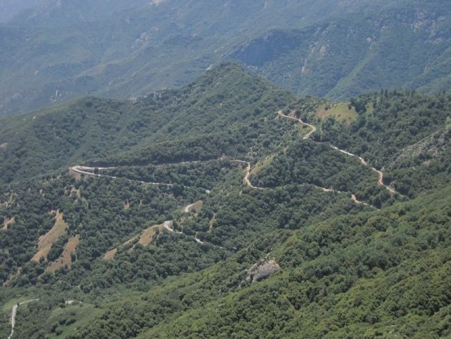
Despite its open appearance, the Middle Fork Canyon of the Kaweah River is nearly as deep as Arizona’s Grand Canyon. The summit of Moro Rock is 4,000 vertical feet above the canyon floor, and east of here the canyon is even deeper. The steep terrain of this region made pioneer access extremely difficult. Only after the construction of the Generals Highway, 1921-1926, did Giant Forest become easily accessible.
Topics. This historical marker is listed in this topic list: Roads & Vehicles. A significant historical year for this entry is 1903.
Location. 36° 32.685′ N, 118° 45.26′ W. Marker is near Lodgepole Village, Sequoia National Park, California, in Tulare County. Marker can be reached from Moro Rock/Crescent Meadow Road. This marker is found near the summit of Moro Rock in Sequoia National Park. Moro Rock can be reached from Moro Rock/Crescent Meadow Road by taking the Moro Rock Loop to the Moro Rock trailhead. From there it is a 1/4 mile, 300 feet, 400 step climb. Touch for map. Marker is in this post office area: Sequoia National Park CA 93262, United States of America. Touch for directions.
Other nearby markers. At least 8 other markers are within 2 miles of this marker, measured as the crow flies. The Naturalists (approx. 0.7 miles away); The CCC Boys (approx. 0.7 miles away); Call the Cavalry! (approx. 0.7 miles away); Stephen Tyng Mather (approx. 0.7 miles away); Buttress Tree (approx. 0.7 miles away); Auto Log (approx. 1.1 miles away); Colonel Young: A Buffalo Soldier (approx. 1.1 miles away); For the Good of the Giants (approx. 1.7 miles away).
Credits. This page was last revised on June 16, 2016. It was originally submitted on July 8, 2011, by Barry Swackhamer of Brentwood, California. This page has been viewed 609 times since then and 12 times this year. Photos: 1, 2, 3. submitted on July 8, 2011, by Barry Swackhamer of Brentwood, California. • Syd Whittle was the editor who published this page.


