Near Culpeper in Culpeper County, Virginia — The American South (Mid-Atlantic)
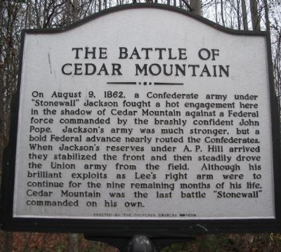
The Battle of Cedar Mountain
On August 9, 1862, a Confederate army under "Stonewall" Jackson fought a hot engagement here in the shadow of Cedar Mountain against a Federal force commanded by the brashly confident John Pope. Jackson's army was much stronger, but a bold Federal advance nearly routed the Confederates. When Jackson's reserves under A.P. Hill arrived they stabilized the front and then steadily drove the Union army from the field. Although his brilliant exploits as Lee's right arm were to continue for the nine remaining months of his life, Cedar Mountain was the last battle "Stonewall" commanded on his own.
Erected by The Culpeper Cavalry Museum.
Topics. This historical marker is listed in this topic list: War, US Civil. A significant historical year for this entry is 1862.
Location. 38° 24.306′ N, 78° 4.121′ W. Marker is near Culpeper, Virginia, in Culpeper County. Marker is at the intersection of General Winder Road (County Route 657) and James Madison Highway (U.S. 15), on the right when traveling west on General Winder Road. Located at the pull-off and trail head for the Civil War Preservation Trust's Cedar Mountain Battlefield walking trail. Touch for map. Marker is in this post office area: Culpeper VA 22701, United States of America. Touch for directions.
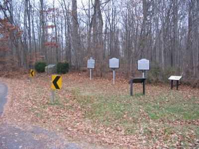
Other nearby markers. At least 8 other markers are within walking distance of this marker. A different marker also named Battle of Cedar Mountain (here, next to this marker); Hand-to-Hand Fighting (a few steps from this marker); a different marker also named Battle of Cedar Mountain (a few steps from this marker); a different marker also named Battle of Cedar Mountain (within shouting distance of this marker); a different marker also named Battle of Cedar Mountain (about 500 feet away, measured in a direct line); a different marker also named Battle of Cedar Mountain (approx. 0.2 miles away); a different marker also named Battle of Cedar Mountain (approx. 0.2 miles away); a different marker also named Battle of Cedar Mountain (approx. 0.2 miles away). Touch for a list and map of all markers in Culpeper.
Regarding The Battle of Cedar Mountain. This is one of several markers interpreting the Battle of Cedar Mountain. See the Battle of Cedar Mountain Virtual Tour by Markers linked below.
Also see . . .
1. Battle of Cedar Mountain. Wikipedia entry (Submitted on January 19, 2024, by Larry Gertner of New York, New York.)
2. Battle of Cedar Mountain. National Park Service summary of the battle and driving tour. The marker is at the first tour stop. (Submitted on December 31, 2007, by Craig Swain of Leesburg, Virginia.)
3. Battle of Cedar Mountain Virtual Tour by Markers. A set markers that document the Battle of Cedar Mountain, August 9, 1862. (Submitted on January 1, 2008, by Craig Swain of Leesburg, Virginia.)

Photographed By Craig Swain, December 22, 2007
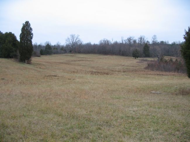
3. Gordon's Federal Brigde Faces A.P. Hill's Reinforcements
From a point on the optional trail, looking west. On the far west flank of the battle Federal General Gordon H. Gordon's Brigade advanced to support Crawford's attack. When Confederate General A.P. Hill's division arrived, Brigades under General James Archer and William Pender attacked down the slope here and drove the Federals back.
Credits. This page was last revised on January 20, 2024. It was originally submitted on December 31, 2007, by Craig Swain of Leesburg, Virginia. This page has been viewed 1,915 times since then and 32 times this year. Photos: 1. submitted on December 31, 2007, by Craig Swain of Leesburg, Virginia. 2. submitted on December 30, 2007, by Craig Swain of Leesburg, Virginia. 3. submitted on January 1, 2008, by Craig Swain of Leesburg, Virginia.

