Monches in Waukesha County, Wisconsin — The American Midwest (Great Lakes)
Monches
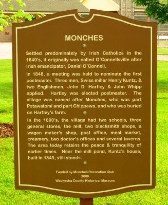
Settled predominately by Irish Catholics in the 1840’s, it originally was called O’Connellsville after Irish emancipator, Daniel O’Connell.
In 1848, a meeting was held to nominate the first postmaster. Three men, Swiss miller Henry Kuntz, & two Englishmen, John D. Hartley & John Whipp applied. Hartley was elected postmaster. The village was named Monches, who was part Potawatomi and part Chippewa, and who was buried on Hartley’s farm.
In the 1890’s, the village had two schools, three general stores, the mill, two blacksmith shops, a wagon maker’s shop, post office, meat market, creamery, two doctor’s offices and several taverns. The area today retains the peace & tranquility of earlier times. Near the mill pond, Kuntz’s house, built in 1849, still stands.
Erected 2009 by Waukesha County Historical Society, funded by Monches Recreation Club. (Marker Number 17-01.)
Topics. This historical marker is listed in this topic list: Settlements & Settlers. A significant historical year for this entry is 1848.
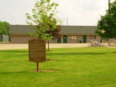
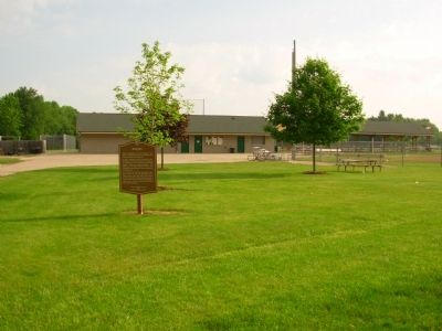
Location. 43° 11.175′ N, 88° 20.502′ W. Marker is in Monches, Wisconsin, in Waukesha County. Marker can be reached from Kettle Moraine Scenic Drive (County Road E) 0.1 miles south of Center Oak Road (County Road F). Marker is located in Moches Recreation Park. Touch for map. Marker is in this post office area: Hartland WI 53029, United States of America. Touch for directions.
Other nearby markers. At least 8 other markers are within 4 miles of this marker, measured as the crow flies. Carl Schurz Forest (approx. half a mile away); North Lake (approx. 2½ miles away); Plainview School No. 4 (approx. 3 miles away); Martin C. Weber, Sr. (approx. 3 miles away); Village of Merton (approx. 3.1 miles away); The “Fort Hill” Indian Mounds of Merton (approx. 3.2 miles away); First Baptist Church Of Merton (approx. 3.4 miles away); a different marker also named First Baptist Church Of Merton (approx. 3.4 miles away).
Credits. This page was last revised on June 16, 2016. It was originally submitted on July 12, 2011, by Paul Fehrenbach of Germantown, Wisconsin. This page has been viewed 1,356 times since then and 65 times this year. Photos: 1, 2, 3. submitted on July 12, 2011, by Paul Fehrenbach of Germantown, Wisconsin. • Bernard Fisher was the editor who published this page.


