Atchison in Atchison County, Kansas — The American Midwest (Upper Plains)
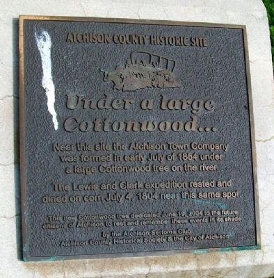
Under a large Cottonwood…
Atchison County Historic Site
Near this site the Atchison Town Company was formed in early July of 1854 under a large Cottonwood tree on the river.
The Lewis and Clark expedition rested and dined on corn July 4, 1804 near this same spot.
This new Cottonwood tree dedicated June 19, 2004 to the future citizens of Atchison to rest and remember these events in its shade
Erected 2004 by Atchison Sertoma Club, Atchison County Historical Society & the City of Atchison.
Topics. This historical marker is listed in these topic lists: Exploration • Settlements & Settlers • Waterways & Vessels. A significant historical date for this entry is July 4, 1804.
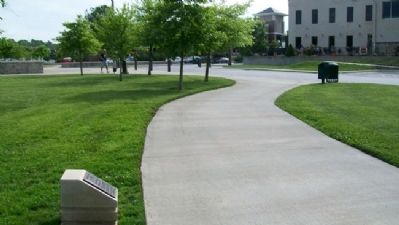
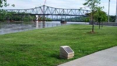
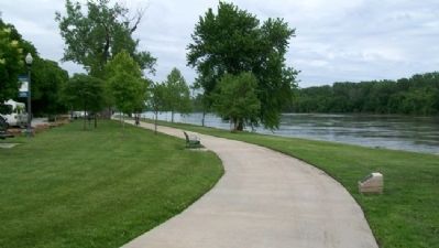
Location. 39° 33.73′ N, 95° 6.82′ W. Marker is in Atchison, Kansas, in Atchison County. Marker is on River Road, on the right when traveling north. Marker is along the Riverfront Park trail, about 250 feet northwest of the intersection of River Road and Commercial Street, along the Missouri River. Touch for map. Marker is in this post office area: Atchison KS 66002, United States of America. Touch for directions.
Other nearby markers. At least 8 other markers are within walking distance of this marker. Lewis Discovers a High Mound (a few steps from this marker); "the water…contains a half…Glass of ooze" (within shouting distance of this marker); Homeland of the Kanza Indians (within shouting distance of this marker); The Lewis and Clark Expedition (within shouting distance of this marker); "walked on Shore above this Creek" (within shouting distance of this marker); Atchison WWI Factory Supported Freedom (within shouting distance of this marker); Butterfield's Overland Dispatch (within shouting distance of this marker); Atchison Veterans Memorial (within shouting distance of this marker). Touch for a list and map of all markers in Atchison.
Also see . . .
1. History of Atchison, Kansas, in 1912 Cyclopedia. KSGenWeb website entry (Submitted on July 16, 2011, by William Fischer, Jr. of Scranton, Pennsylvania.)
2. The Journals of the Lewis and Clark Expedition. Website homepage (Submitted on July 16, 2011, by William Fischer, Jr. of Scranton, Pennsylvania.)
Credits. This page was last revised on December 15, 2021. It was originally submitted on July 16, 2011, by William Fischer, Jr. of Scranton, Pennsylvania. This page has been viewed 611 times since then and 12 times this year. Photos: 1, 2, 3, 4. submitted on July 16, 2011, by William Fischer, Jr. of Scranton, Pennsylvania.


