Tampa in Hillsborough County, Florida — The American South (South Atlantic)
The Bayshore Boulevard
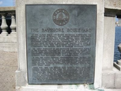
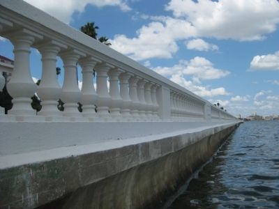
In 1907, Alfred Swann and Eugene Holtsinger constructed the original section of seawall and roadway extending from Swann Avenue to Rome Avenue. This initial section, which was called Bayshore Drive, served Suburb Beautiful, the first residential development along the bayshore. Subsequently, as a result of a 1912 bond issue, 2.3 miles of seawall and roadway were added by Hillsborough County. Thus, the bayshore was expanded to 3.2 miles, transforming the original drive to Bayshore Boulevard.
The Great Hurricane of 1921 destroyed a substantial portion of the boulevard, resulting in a 1925 reconstruction project. The City of Tampa reconstructed the boulevard within the city limits. Concurrently, Hillsborough County built a new section of boulevard extending from Hawthorne Road to Howard Avenue.
In 1935, the Works Progress Administration (WPA) provided the resources necessary to once again reconstruct the Bayshore Boulevard as well as build the Bayshore Boat Docks, presently known as the Bayshore Marina. This 1935 project resulted in a wider Bayshore Boulevard extending from Hawthorne Road to the Platt Street Bridge.
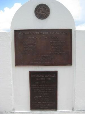
Since 1935, time and storms have taken a toll upon the Bayshore Boulevard. In 1992, under the direction of Mayor Sandra Warshaw Freedman, the Bayshore Boulevard restoration project was completed, resulting in the restoration of the seawall system as well as the realignment of the northbound roadway between Hawthorne Road and Rome Avenue. Thus, Bayshore Boulevard has evolved not only to serve vehicular traffic but also provide a recreational linear green space along four miles of uninterrupted waterfront sidewalk.
Erected by the City of Tampa.
Topics and series. This historical marker is listed in these topic lists: Charity & Public Work • Roads & Vehicles • Waterways & Vessels. In addition, it is included in the Works Progress Administration (WPA) projects series list. A significant historical year for this entry is 1907.
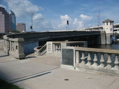
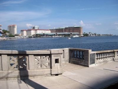
Location. 27° 56.484′ N, 82° 27.553′ W. Marker is in Tampa, Florida, in Hillsborough County. Marker is at the intersection of Bayshore Boulevard and West Platt Street, on the right when traveling north on Bayshore Boulevard. The marker is mounted on the balustrade outside the southern entrance to the pedestrian walkway under the Platt Street Bridge, at the mouth of the Hillsborough River. It is located next to the Columbus Statue Park and at the northern tip of the Bayshore Boulevard Linear Park (both City of Tampa parks). Touch for map. Marker is at or near this postal address: 300 Bayshore Boulevard, Tampa FL 33606, United States of America. Touch for directions.
Other nearby markers. At least 8 other markers are within walking distance of this marker. World's First Scheduled Commercial Airline
(a few steps from this marker); Jose Gasparilla (about 400 feet away, measured in a direct line); Site of Mirabella Fish Company (about 500 feet away); Florida's First Catholic Martyrs (about 500 feet away); Hutchinson House (approx. 0.2 miles away); Site of Fort Brooke (approx. 0.2 miles away); Tampa Bay and MacDill (approx. ¼ mile away); Today at MacDill AFB (approx. ¼ mile away). Touch for a list and map of all markers in Tampa.
More about this marker. The marker is capped with the Great Seal of the City of Tampa.
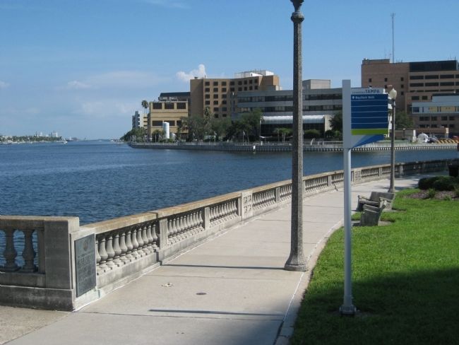
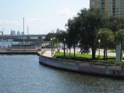
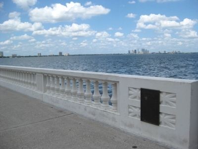
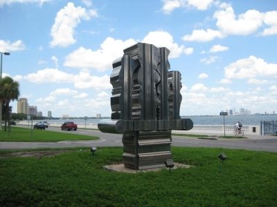
Regarding The Bayshore Boulevard. The seawall, balustrade, ten foot-wide sidewalk, and adjacent green space along Bayshore Boulevard is known as the Bayshore Boulevard Linear Park and the Bayshore Boulevard Greenway Trail. The 4.5 mile stretch along Hillsborough Bay is said to be the world's longest continuous sidewalk.
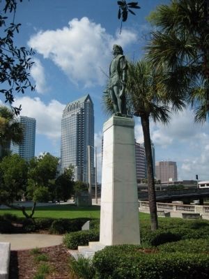
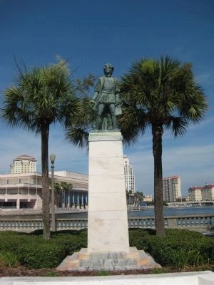
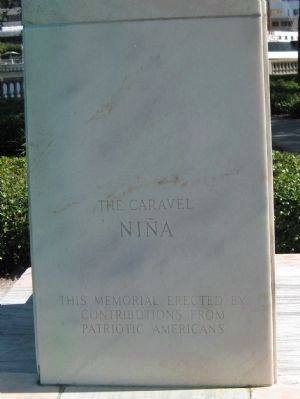
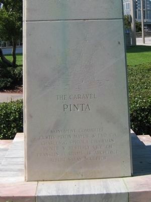
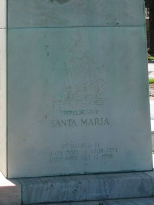
The marker faces Columbus Statue Park, which is situated at the north end of the Bayshore Boulevard Linear Park, and features a memorial statue of explorer Christopher Columbus.
The
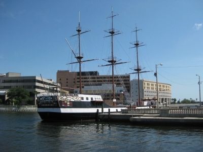
Bayshore Marina, approximately 100 meters south of the marker, is where the José Gasparilla is berthed. The vessel leads the pirate invasion flotilla during Tampa's annual Gasparilla Pirate Festival.
Photographed By AGS Media, July 18, 2011
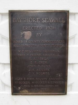
7. Bayshore Seawall Plaque
Bayshore Seawall
Erected1926
by
Board of County Commissioners
Hillsborough County, Florida.
W.T. Williams, Chairman.
Chas. T. Friend, Chairman.
O. A. Ayala.
D. R. Crum.
John T. Gunn.
J. R. Hendry.
J. N. Holmes.
Alan B. Pimm, County Engineer.
McGucken, McGucken & Edwards
James G. Yeats. Company.
Contractors
Photographed By AGS Media, July 18, 2011
8. Bayshore Boulevard Restoration Plaque
Bayshore Boulevard Restoration
1991
Sandra W. Freedman, Mayor
City Council 1989
Lee Duncan, Chairman • Eddie Caballero • Joe Greco • Perry Harvey • Ronnie Mason • Linda Saul-Sena • Larry Smith
City Council 1991
Joe Greco, Chairman • Eddie Caballero • Rudy Fernandez • Perry Harvey • Ronnie Mason • Scott Paine • Linda Saul-Sena
Joseph Abrahams, Administrator
Parks, Recreation & Cultural Services
R. Michael Salmon, Administrator
Water Resources & Public Works
Design Consortium, Ltd.
Dames and Moore
Reynolds, Smith and Hills, Inc.
Kissenger Campo & Associates
Consultants
David Nelson Construction Co., Contractor
Credits. This page was last revised on August 18, 2020. It was originally submitted on July 17, 2011, by Glenn Sheffield of Tampa, Florida. This page has been viewed 1,971 times since then and 93 times this year. Photos: 1, 2, 3, 4, 5, 6. submitted on July 17, 2011, by Glenn Sheffield of Tampa, Florida. 7, 8, 9. submitted on July 18, 2011, by Glenn Sheffield of Tampa, Florida. 10, 11. submitted on July 19, 2011, by Glenn Sheffield of Tampa, Florida. 12, 13, 14, 15, 16. submitted on July 17, 2011, by Glenn Sheffield of Tampa, Florida. 17. submitted on July 19, 2011, by Glenn Sheffield of Tampa, Florida. • Bill Pfingsten was the editor who published this page.
