Near Metamora in Franklin County, Indiana — The American Midwest (Great Lakes)
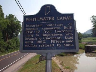
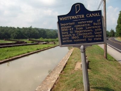
Whitewater Canal
Erected by Indiana Historical Bureau. (Marker Number 24.19??.?.)
Topics and series. This historical marker is listed in these topic lists: Industry & Commerce • Settlements & Settlers • Waterways & Vessels. In addition, it is included in the Indiana Historical Bureau Markers series list. A significant historical year for this entry is 1836.
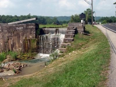
Location. 39° 26.823′ N, 85° 7.455′ W. Marker is near Metamora, Indiana, in Franklin County. Marker is on U.S. 52 east of McGuire Ridge Road, on the right when traveling east. Located at "Gordon's Lock #24" just East of Metamora. Touch for map. Marker is in this post office area: Metamora IN 47030, United States of America. Touch for directions.
Other nearby markers. At least 8 other markers are within walking distance of this marker. Locking Thru Lock No. 24 (within shouting distance of this marker); Whitewater Canal State Historic Site (within shouting distance of this marker); Metamora to Twin Locks: along the trail (about 800 feet away, measured in a direct line); Duck Creek Aqueduct (approx. 0.3 miles away); a different marker also named Whitewater Canal State Historic Site (approx. 0.4 miles away); Metamora Christian Church (approx. 0.4 miles away); Stable (approx. half a mile away); Old Faulkner-Pierce Drug Store (approx. half a mile away). Touch for a list and map of all markers in Metamora.
More about this marker. The question marks in the marker’s number are in the official lists of The Indiana Historical Bureau.
Credits. This page was last revised on October 10, 2018. It was originally submitted on July 18, 2011, by Al Wolf of Veedersburg, Indiana. This page has been viewed 571 times since then and 16 times this year. Photos: 1, 2, 3. submitted on July 18, 2011, by Al Wolf of Veedersburg, Indiana. • Bill Pfingsten was the editor who published this page.


