Near East Liverpool in Columbiana County, Ohio — The American Midwest (Great Lakes)
Thomas J. Malone Bridge / Gaston's Mill
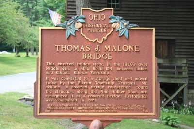
"Thomas J. Malone Bridge"
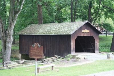
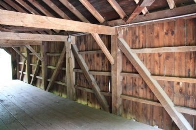
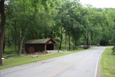
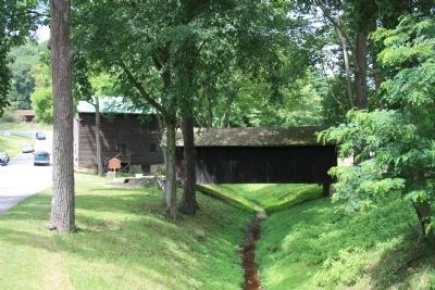
This covered bridge stood in the 1870s over Middle Run, on State Route 154, between Lisbon and Elkton, Elkrun Township. It was converted to a storage shed and moved twice by the Elkrun Township Trustees. Mr. Malone, a covered bridge researcher, found the structure along the Pine Hollow Road and recognized it as a covered bridge. Restoration was completed in 1971.
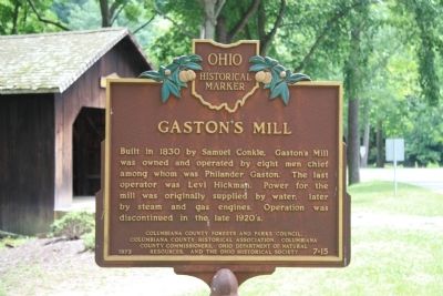
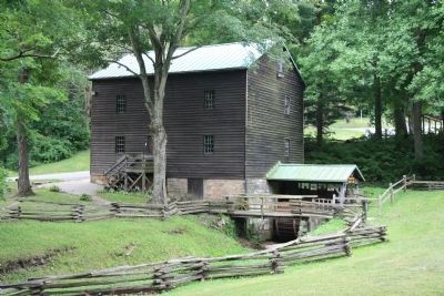
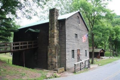
"Gaston's Mill"
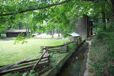
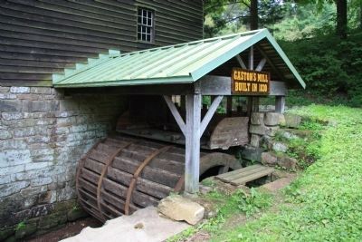
Built in 1830 by Samuel Conkle, Gaston's Mill was owned and operated by eight men chief among them was Philander Gaston. The last operator was Levi Hickman. Power for the mill was originally supplied by water, later by steam and gas engines. Operation was discontinued in the late 1920's.
Erected 1973 by Elkrun Township Trustees; Bert Dawson, Jr., Columbiana County Engineer; Columbiana County Historical Association, Columbiana County Forests and Parks Council. (Marker Number 7-15.)
Topics and series. This historical marker is listed in these topic lists: Bridges & Viaducts • Industry & Commerce. In addition, it is included in the Covered Bridges, and the Ohio Historical Society / The Ohio History Connection series lists. A significant historical year for this entry is 1971.
Location. 40° 43.624′ N, 80° 36.747′ W. Marker is near East Liverpool, Ohio, in Columbiana County. Marker is on Echo Dell Road (Local Route 929) north of Bell School Road (Local Route 1131), on the left when traveling north. This historical marker is located at Beaver Creek State Park just south of Beaver Creek, between the Gaston Mill and the Malone Covered Bridge. Touch for map. Marker is in this post office area: East Liverpool OH 43920, United States of America. Touch for directions.
Other nearby markers. At least 8 other markers are within 7 miles of this marker, measured as the crow flies. Lock 36 (within shouting distance of this marker); Beaver Creek (about 300 feet away, measured in a direct line); Little Beaver Creek (about 300 feet away); Death of Pretty Boy Floyd (approx. 1˝ miles away); Dustin Huffman Memorial Overlook (approx. 2.2 miles away); Church Hill Road Bridge / Timber Covered Bridges (approx. 5.4 miles away); Riverview Cemetery (approx. 6˝ miles away); New Salem Presbyterian Church (approx. 6.9 miles away in Pennsylvania). Touch for a list and map of all markers in East Liverpool.
Credits. This page was last revised on June 16, 2016. It was originally submitted on July 19, 2011, by Dale K. Benington of Toledo, Ohio. This page has been viewed 1,067 times since then and 24 times this year. Photos: 1, 2, 3, 4, 5, 6, 7, 8, 9, 10. submitted on July 23, 2011, by Dale K. Benington of Toledo, Ohio. • Bill Pfingsten was the editor who published this page.
