Near Las Cruces in Doņa Ana County, New Mexico — The American Mountains (Southwest)
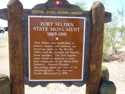
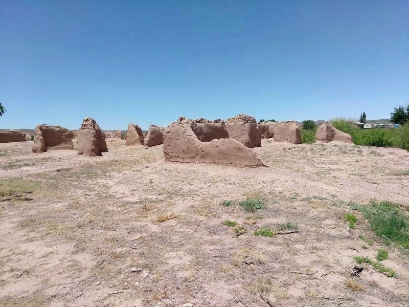
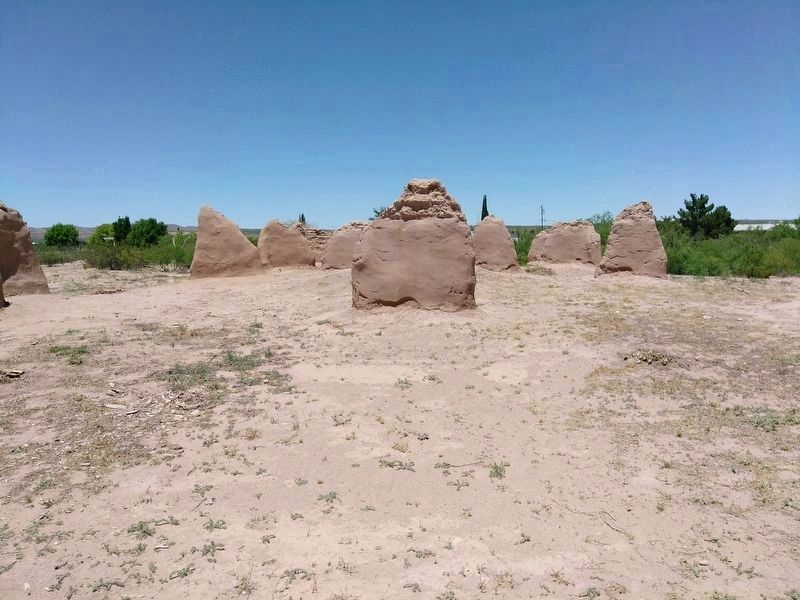
Fort Selden State Monument
1865-1891
Erected by New Mexico Historic Preservation Division.
Topics and series. This historical marker and monument is listed in these topic lists: Forts and Castles • Native Americans. In addition, it is included in the El Camino Real de Tierra Adentro series list. A significant historical year for this entry is 1891.
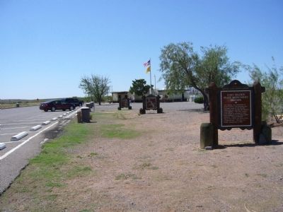
Location. 32° 33.165′ N, 106° 55.4′ W. Marker is near Las Cruces, New Mexico, in Doņa Ana County. Marker is on Interstate 25 at milepost 22.8, on the right when traveling south. Marker is in the southbound rest area. Touch for map. Marker is in this post office area: Las Cruces NM 88007, United States of America. Touch for directions.
Other nearby markers. At least 8 other markers are within 5 miles of this marker, measured as the crow flies. Paraje San Diego (a few steps from this marker); Jornada del Muerto (within shouting distance of this marker); a different marker also named Jornada del Muerto (approx. 0.2 miles away); a different marker also named Paraje San Diego (approx. ž mile away); Changing Upland Plants (approx. 4 miles away); A Diversion Dam for the Valley (approx. 4 miles away); Rio Grande Bosque (approx. 4 miles away); Rio Grande Means Life (approx. 4.2 miles away). Touch for a list and map of all markers in Las Cruces.
Also see . . . Fort Seldon. Built on the banks of the Rio Grande, this adobe fort housed units of the U.S. infantry and cavalry. Their intent was to protect settlers and travelers in the Mesilla Valley. (Submitted on August 1, 2011.)
Credits. This page was last revised on May 4, 2020. It was originally submitted on July 26, 2011, by Bill Kirchner of Tucson, Arizona. This page has been viewed 939 times since then and 23 times this year. Photos: 1, 2, 3. submitted on July 26, 2011, by Bill Kirchner of Tucson, Arizona. 4, 5, 6. submitted on May 3, 2020, by Heinz Landeck of El Paso, Texas. • Syd Whittle was the editor who published this page.
