Mammoth in Yellowstone National Park in Park County, Wyoming — The American West (Mountains)
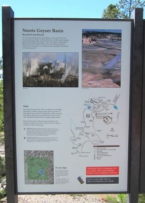
Norris Geyser Basin
Beautiful and Bizarre
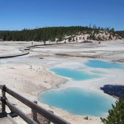
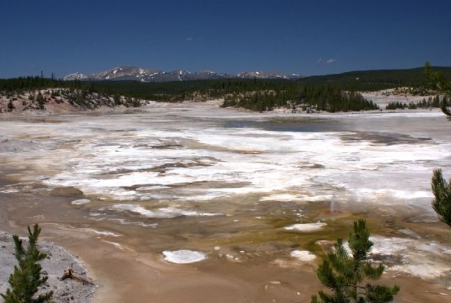
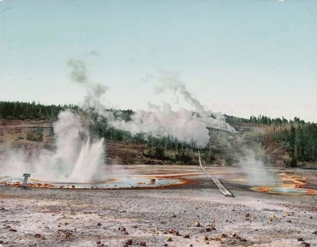
As you walk through Norris Geyser Basin, you may feel as if you are encountering another world. In the basin—far below the towering peaks of the Gallatin Mountains—water accumulates underground. Heated by the Yellowstone Volcano, the water travels upward to erupt from acidic geysers, rise from steaming fumaroles, and simmer in shimmering pools.
Trails
Two loop trails begin here. Due to rough terrain and highly changeable conditions, please expect uneven ground and steep grades that exceed 8%. Boardwalks contain numerous steps. Rocks and roots may protrude into sections of dirt trail. Wheelchair batteries may not support uphill climbs.
Because Norris Geyser Basin changes frequently and sometimes rapidly, the trail may have closures or detours that are not shown on the map.
Back Basin Trail winds through wooded areas, and may provide some shade on a hot summer day. This loop is approximately 1½ miles (2.4 km) in length-or take the shortcut for a 1-mile (1.6 km) loop. Back Basin Trail will lead you past Steamboat Geyser, famous for the world's highest (but completely unpredictable) eruptions, and past Porkchop Geyser, the site of a small hydrothermal explosion.
Porcelain Basin Trail begins with a panoramic view of the basin, then guides you through a steaming landscape of small geysers, boiling springs, and colorful communities of heat-loving microorganisms called thermophiles. This loop is about ½ mile (.8 km) long.
On the Edge
Norris Geyser Basin is located near the Yellowstone Caldera. This vast caldera is a legacy of the colossal eruption that burst forth approximately 640,000 year's ago.
The Yellowstone Volcano-one of the largest on Earth-is still alive today. In the geyser basin, signs of the volcano's heat and gases are all around you.
All thermal areas are dangerous. For your safety, and to protect delicate features, stay on designated walkways.
Carry a water bottle with you. There is no drinking water ahead.
This exhibit made possible by a generous grant from The Yellowstone Association
Topics. This historical marker is listed in this topic list: Natural Features.
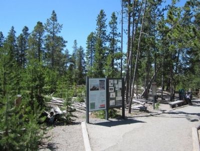
Location. 44° 43.575′ N, 110° 42.191′ W. Marker is in Yellowstone National Park, Wyoming, in Park County. It is in Mammoth. Marker can be reached from Grand Loop Road (U.S. 89) near Norris Canyon Road, on the right when traveling south. Touch for map. Marker is in this post office area: Yellowstone National Park WY 82190, United States of America. Touch for directions.
Other nearby markers. At least 8 other markers are within walking distance of this marker. The National Park System (within shouting distance of this marker); Yellowstone National Park (within shouting distance of this marker); a different marker also named Norris Geyser Basin (within shouting distance of this marker); The Norris Area (about 300 feet away, measured in a direct line); Emerald Spring (about 300 feet away); Fumaroles (about 500 feet away); Solfatara (about 600 feet away); Minute Geyser (approx. 0.2 miles away). Touch for a list and map of all markers in Yellowstone National Park.
Also see . . .
1. Yellowstone National Park. National Park Service (Submitted on July 31, 2011.)
2. Geysers - Norris. "Norris Geyser Basin, named after an early Yellow-stone Superintendent, may be the hottest geyser basin in Yellowstone. The Carnegie Institute of Washington, D.C. made test wells in 1929 to determine subsurface temperatures. One test hole was abandoned at 265 feet when the temperature reached 401 °F and the steam pressure threatened to destroy the drilling rig...." YellowstoneNationalPark.com (Submitted on August 29, 2015.)
Credits. This page was last revised on February 16, 2023. It was originally submitted on July 31, 2011, by Bernard Fisher of Richmond, Virginia. This page has been viewed 613 times since then and 27 times this year. Photos: 1, 2, 3, 4. submitted on July 31, 2011, by Bernard Fisher of Richmond, Virginia. 5. submitted on August 29, 2015.
