Homestead - Gardenspot in Albuquerque in Bernalillo County, New Mexico — The American Mountains (Southwest)
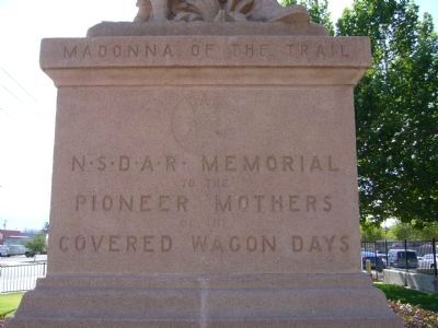
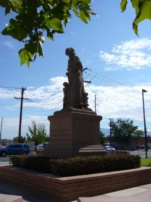
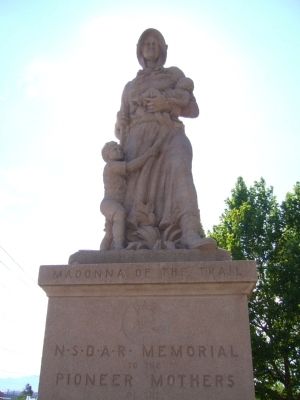
Madonna of the Trail
(West Face):
to the
Pioneer Mothers
of the
Covered Wagon Days
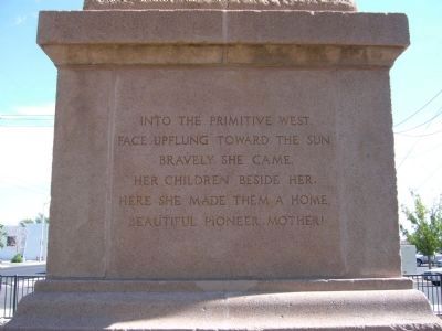
(South Face):
Into the primitive west
Face upflung toward the sun
Bravely she came
Her children besides her,
Here she made them a home
Beautiful Pioneer Mother!
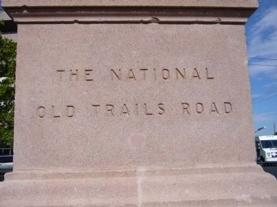
(East Face):
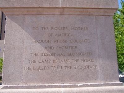
(North Face):
of America
through whose courage
and sacrifice
the desert has blossomed
the camp became home
the blazed trail the thorofare
Erected 1928 by National Society of the Daughters of the American Revolution.
Topics and series. This historical marker is listed in these topic lists: Exploration • Women. In addition, it is included in the Daughters of the American Revolution, and the Madonnas of the Trail series lists.
Location. 35° 5.576′ N, 106° 38.99′ W. Marker is in Albuquerque, New Mexico, in Bernalillo County. It is in Homestead - Gardenspot. Marker is at the intersection of 4th Street NW and Marble Avenue NW, on the right when traveling north on 4th Street NW. Touch for map. Marker is in this post office area: Albuquerque NM 87102, United States of America. Touch for directions.
Other nearby markers. At least 8 other markers are within walking distance of this marker. McClellan Park (about 600 feet away, measured in a direct line); Harwood School (approx. ¼ mile away); W.E. Mauger House (approx. 0.3 miles away); Blythe House (approx. 0.4 miles away); Tijeras Canyon Road (approx. 0.4 miles away); Champion Grocery Building (approx. half a mile away); Champion Grocery and Meat Market (approx. half a mile away); Thomas F. Keleher, Jr. House (approx. half a mile away). Touch for a list and map of all markers in Albuquerque.
More about this marker. Originally installed near this site in McClellan Park, September 27, 1928.
Relocated and re-dedicated September 27, 1998 by the City of Albuquerque Public Art Program.
Credits. This page was last revised on February 2, 2023. It was originally submitted on August 2, 2011, by Bill Kirchner of Tucson, Arizona. This page has been viewed 871 times since then and 21 times this year. Photos: 1, 2, 3, 4, 5, 6, 7. submitted on August 2, 2011, by Bill Kirchner of Tucson, Arizona. • Syd Whittle was the editor who published this page.
