Fort Washington in Prince George's County, Maryland — The American Northeast (Mid-Atlantic)
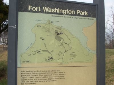
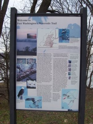
Fort Washington Park
Erected by National Park Service - U.S, Department of the Interior.
Topics and series. This historical marker is listed in these topic lists: Forts and Castles • Natural Features • Notable Events • War of 1812 • War, Spanish-American • War, US Civil • War, World I • War, World II • Waterways & Vessels. In addition, it is included in the Defenses of Washington series list.
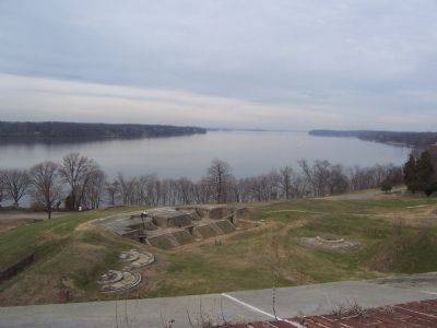
Location. 38° 42.776′ N, 77° 1.924′ W. Marker is in Fort Washington, Maryland, in Prince George's County. Marker is on Fort Washington Road, on the right when traveling west. The park is south of Washington, D.C. on the east bank of the Potomac River, opposite Fort Hunt Park and the George Washington Parkway on the west (Virginia) bank. From the Capital Beltway (I-95/495), take Indian Head Highway (Md. 210) south to Fort Washington Road and follow National Park Service signs west to the park entrance. Touch for map. Marker is at or near this postal address: 13551 Fort Washington Road, Fort Washington MD 20744, United States of America. Touch for directions.
Other nearby markers. At least 8 other markers are within walking distance of this marker. Battery Decatur and Disappearing Guns (within shouting distance of this marker); Capital Guardian (about 300 feet away, measured in a direct line); a different marker also named Capital Guardian (about 300 feet away); a different marker also named Capital Guardian (about 300 feet away); Main Gateway (about 700 feet away); The Northwest Demi-Bastion (about 800 feet away); “Warburton Manor” (approx. 0.2 miles away); The Water Battery (approx. 0.2 miles away). Touch for a list and map of all markers in Fort Washington.
More about this marker. The marker is inside the park on the path between the main parking lot and the visitor center.
Related markers. Click here for a list of markers that are related to this marker. Fort Washington Park virtual tour by markers.
Also see . . .
1. Civil War Defenses of Washington. (Submitted on January 6, 2008, by Richard E. Miller of Oxon Hill, Maryland.)
2. Potomac Heritage National Scenic Trail. (Submitted on January 6, 2008, by Richard E. Miller of Oxon Hill, Maryland.)
3. Fort Washington.
Photographed By Richard E. Miller, January 5, 2008
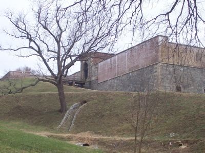
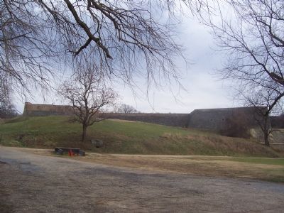
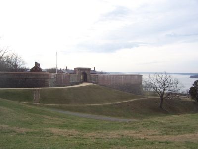
2. Entrance to the "second fort," completed in 1824 .
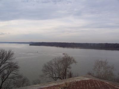
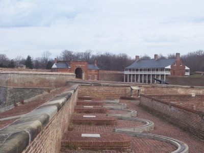
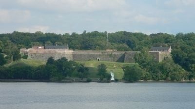
One in a system of masonry coastal fortifications erected prior to the Civil War, this was the only such "permanent" fortification protecting the National Capital until 1872. Its original 24 pounder cannon could effectively control the narrow river passage. Reinforced with 32 pounders during the Civil War, it was never challenged by the Confederate Navy.
4. Firing a 32-Pdr Seacoast Gun. YouTube video of the firing of a 32-pdr seacoast gun at Fort Delaware. Similar pieces armed Fort Washington prior to and during the Civil War. (Submitted on January 6, 2008, by Craig Swain of Leesburg, Virginia.)
Additional commentary.
1. Fort Washington in the Civil War
From "Mr. Lincoln's Forts: A Guide to the Civil War Defenses of Washington," by Benjamin Franklin Cooling III and Walton H. Owen II:
The initial design of the fort was drafted by Pierre L'Enfant, better known for his layout of Washington, D.C. At the start of the Civil War the fort was in caretaker status, and not manned. Fearing southern sympathizers would overtake the fort (and thus blockade the capital city), a detachment of forty Marines were sent to garrison the fort on January 5, 1861. Later in the war detachments of regular U.S. Artillery batteries served at the fort.
After the Civil War, the fort was again abandoned. In 1896 the site was reactivated and used as the center once again for the defenses of Washington. Six 10-inch disappearing guns sat in concrete fortifications around the old masonry fortification. The Fort linked in with similar installations at Fort Leslie J. McNair and Fort Myer (Arlington National Cemetery). Only after World War II were military operations ceased at the site.
— Submitted January 6, 2008, by Craig Swain of Leesburg, Virginia.
Credits. This page was last revised on September 30, 2022. It was originally submitted on January 5, 2008, by Richard E. Miller of Oxon Hill, Maryland. This page has been viewed 2,819 times since then and 22 times this year. Photos: 1. submitted on January 5, 2008, by Richard E. Miller of Oxon Hill, Maryland. 2, 3, 4, 5, 6, 7, 8. submitted on January 6, 2008, by Richard E. Miller of Oxon Hill, Maryland. 9. submitted on August 17, 2011, by Richard E. Miller of Oxon Hill, Maryland. • Craig Swain was the editor who published this page.
