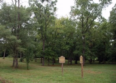
Osgood in Ripley County, Indiana — The American Midwest (Great Lakes)
The Fugitive Trail
Funded by the Reynolds Foundation
and Black Community Trust
Erected by Ripley County Historical Society.
Topics. This historical marker is listed in this topic list: Abolition & Underground RR. A significant historical year for this entry is 1861.
Location. 39° 7.974′ N, 85° 17.338′ W. Marker is in Osgood, Indiana, in Ripley County. Marker is on East Fairground Avenue east of East Beech Street (State Road 350), on the left when traveling east. Touch for map. Marker is in this post office area: Osgood IN 47037, United States of America. Touch for directions.
Other nearby markers. At least 8 other markers are within one mile of this marker, measured as the crow flies. Abolitionists (here, next to this marker); John Andrews, Master Craftsman (about 500 feet away, measured in a direct line); James Harrison Cravens (approx. 0.2 miles away); William Forsyth, Artist (approx. ¼ mile away); Ohio and Mississippi Railroad (approx. 0.3 miles away); Willson House (approx. half a mile away); The Bilby Tower (approx. one mile away); Crusher Lane (approx. one mile away). Touch for a list and map of all markers in Osgood.
Credits. This page was last revised on June 16, 2016. It was originally submitted on August 10, 2011, by Al Wolf of Veedersburg, Indiana. This page has been viewed 720 times since then and 22 times this year. Photos: 1, 2, 3. submitted on August 10, 2011, by Al Wolf of Veedersburg, Indiana. • Bill Pfingsten was the editor who published this page.


