Mahaning Heights in Northeast Washington in Washington, District of Columbia — The American Northeast (Mid-Atlantic)
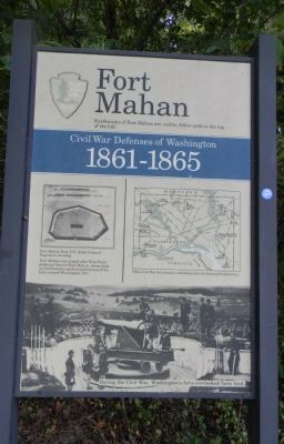
Fort Mahan
Civil War Defenses of Washington
Civil War Defenses of Washington
1861-1865
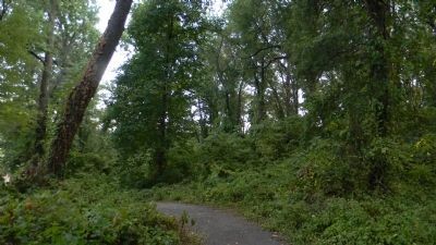
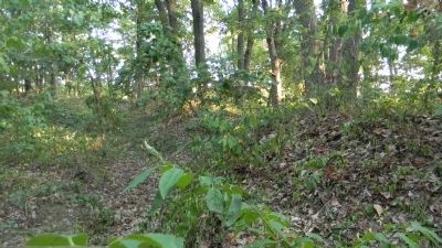
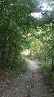
Earthworks of Fort Mahan are visible; follow path at the top of the hill.
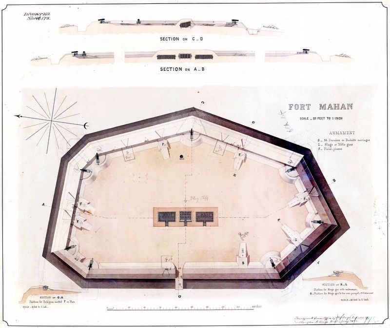
[Illustration:]
Fort Mahan from U.S. Army Corps of Engineers drawing.
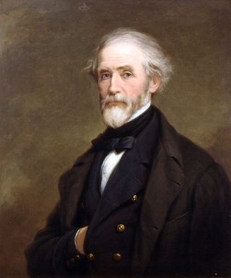
- Fort Mahan was named after West Point professor Dennis Hart Mahan whose book on fortifications guided construction of the forts around Washington, D.C.
[Map of the District of Columbia showing ...:]
Other Civil War fort locations administered by the National Park Service.
[Generic series photograph of Fort Circle artillerymen and cannon on a hilltop overlooking rural D.C.:]
During the Civil War, Washington’s forts overlooked farm land.
Erected by National Park Service, U.S. Department of the Interior.
Topics and series. This historical marker is listed in these topic lists: Education • Forts and Castles • War, US Civil. In addition, it is included in the Defenses of Washington series list. A significant historical year for this entry is 1961.
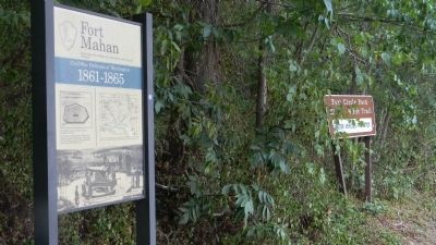
Location. 38° 53.617′ N, 76° 56.655′ W. Marker is in Northeast Washington in Washington, District of Columbia. It is in Mahaning Heights. Marker is at the intersection of Benning Road Northeast and 41st Street Northeast, on the right when traveling west on Benning Road Northeast. Marker is above the lawn on the hillside hiker trail, south side of Fort Mahan Park, north of Benning Road. Touch for map. Marker is at or near this postal address: 4000 Benning Road Northeast, Washington DC 20019, United States of America. Touch for directions.
Other nearby markers. At least 8 other markers are within walking distance of this marker. "We're Not Forgotten" (approx. 0.3 miles away); From Gambling to Garden Apartments (approx. 0.4 miles away); Fort Chaplin (approx. half a mile away); 100 Years of Afro-American History (approx. 0.6 miles away); “What Magic Has Been Wrought Here” (approx. 0.6 miles away); Mayfair Mansions / Albert I. Cassell (approx. 0.6 miles away); Lewis Giles, Sr.'s Home and Office (approx. 0.6 miles away); Designed to Compete (approx. 0.7 miles away). Touch for a list and map of all markers in Northeast Washington.
Also see . . .
1. Fort Mahan - Civil War Defenses of Washington. Fort Mahan, situated on an isolated hill belonging to Dr. William Manning, was built to guard the approaches to Benning's Bridge which crosses the Anacostia River. (Submitted on August 13, 2011, by Richard E. Miller of Oxon Hill, Maryland.)
2. Dennis Hart Mahan. ... He resigned his commission in 1832 to accept the position of Chair of the Engineering Department [USMA]. ... An important influence on the military conduct of the American Civil War and Civil Engineering, Mahan is best understood as an educator and technology transfer agent, not a theorist. Mahan almost singlehandedly compiled and transferred the best of European engineering to the United States and other English-speaking parts of the world. Virtually all 19th century American engineering schools were started with West Point-educated faculty or adopted its texts. ... (Submitted on August 13, 2011, by Richard E. Miller of Oxon Hill, Maryland.)
Additional keywords. Fort Circle Parks; Mahaning Heights; Irish-Americans
Photographed By Richard E. Miller, August 12, 2011
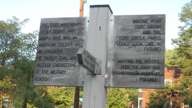
6. Directional marker off 14th Street
Go experience the history yourself.
Imagine what Fort Mahan and the Fort Circle Parks could look like in the future!
Maintain the history, Keep the park and neighborhood clean as possible…
Credits. This page was last revised on March 11, 2024. It was originally submitted on August 13, 2011, by Richard E. Miller of Oxon Hill, Maryland. This page has been viewed 1,213 times since then and 58 times this year. Photos: 1, 2, 3, 4, 5, 6, 7. submitted on August 13, 2011, by Richard E. Miller of Oxon Hill, Maryland. 8. submitted on March 11, 2024, by Allen C. Browne of Silver Spring, Maryland. • Craig Swain was the editor who published this page.
