Summer Haven in St. Johns County, Florida — The American South (South Atlantic)
Massacre of the French
Matanzas Inlet
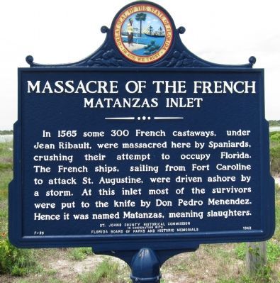
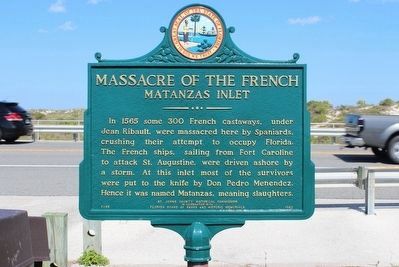
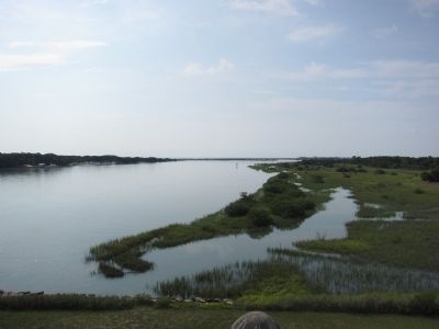
In 1565 some 300 French castaways, under Jean Ribault, were massacred here by Spaniards, crushing their attempt to occupy Florida. The French ships, sailing from Fort Caroline to attack St. Augustine, were driven ashore by a storm. At this inlet most of the survivors were put to the knife by Don Pedro Menendez. Hence it was named Matanzas, meaning slaughters.
Erected 1962 by St. Johns County Historical Commission in cooperation with Florida Board of Parks and Historic Memorials. (Marker Number F-85.)
Topics. This historical marker is listed in this topic list: Colonial Era. A significant historical year for this entry is 1565.
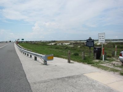
Location. 29° 42.657′ N, 81° 13.787′ W. Marker is in Summer Haven, Florida, in St. Johns County. Marker is on North Ocean Boulevard (State Road 1A), on the right when traveling south. Located at the south parking area for Matanzas National Monument. Touch for map. Marker is in this post office area: Saint Augustine FL 32080, United States of America. Touch for directions.
Other nearby markers. At least 8 other markers are within 3 miles of this marker, measured as the crow flies. Old World Showdown / Reyes y fe (approx. 0.3 miles away); Massacre by Menendez (approx. 0.3 miles away); Closing the Door / Protegiendo el acceso (approx. 0.4 miles away); Crumbling Coquina / Piedra frágil (approx. 0.4 miles away); Fort Matanzas National Monument (approx. 0.4 miles away); Southeast Intracoastal Waterway Park (approx. 0.7 miles away); Guarding Matanzas Inlet (approx. 0.7 miles away); Marineland-The World’s First Oceanarium (approx. 3.1 miles away).
Also see . . . Massacre of the French. Fort Matanzas National Monument website. (Submitted on August 15, 2011, by Craig Swain of Leesburg, Virginia.)
Credits. This page was last revised on February 21, 2024. It was originally submitted on August 15, 2011, by Craig Swain of Leesburg, Virginia. This page has been viewed 1,551 times since then and 52 times this year. Photos: 1. submitted on August 15, 2011, by Craig Swain of Leesburg, Virginia. 2. submitted on April 8, 2016, by Tim Fillmon of Webster, Florida. 3, 4. submitted on August 15, 2011, by Craig Swain of Leesburg, Virginia.


