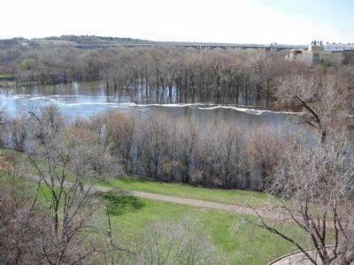
Highland Park in Saint Paul in Ramsey County, Minnesota — The American Midwest (Upper Plains)
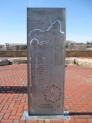
De Dakod Makoce Unkitawapi E E
This is our Dakota Land
Land of the Buffalo People
The Minnesota and Mississippi River Valleys have been home to the Dakota for hundreds of years, and the existence of our ancestors was sustained by their relationship with the earth and their surroundings. For generations, Dakota families fished from the rivers, gathered rice from area lakes and hunted game on the prairies and in river valley woodlands. Along the riverbanks, leaders of the Eastern Dakota, including Sakpe, Caske, Mazomani, Wambditanka, Huyapa, Tacanku, Waste, and Taoyateduta, established villages. From these home sites, the Eastern Dakota traveled for hunting, gathering, and meeting with other bands of Dakota. Our ancestors lived in harmony with the world around them, and Dakota culture flourished.
Oceti Sakowin Seven Council Fires • Wakan Tanka Tokaheya · Cewakiye · Mitakuye · Ob · Wani Kta · Ca · Cewakiye · Mitakuye Owas · Great Mystery • I pray first to You That I will Live with my Relatives · All my Relatives
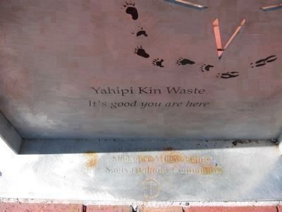
It's good you are here
Topics. This historical marker is listed in these topic lists: Native Americans • Waterways & Vessels.
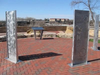
Location. 44° 53.746′ N, 93° 10.717′ W. Marker is in Saint Paul, Minnesota, in Ramsey County. It is in Highland Park. Marker is at the intersection of Shepard Road and Crosby Farm Road, on the right when traveling east on Shepard Road. Marker is at Two Rivers Overlook. Touch for map. Marker is in this post office area: Saint Paul MN 55116, United States of America. Touch for directions.
Other nearby markers. At least 8 other markers are within walking distance of this marker. River Valleys Take Shape / A Strategic Advantage / Making a Safe Landing (approx. 0.3 miles away); Three Sisters Garden (approx. 0.3 miles away); Executions at Fort Snelling (approx. 0.3 miles away); Imprisonment of Dakota Families (approx. 0.3 miles away); St. Peters Agency (approx. 0.3 miles away); Sacrifice (approx. 0.3 miles away); Perseverance (approx. 0.3 miles away); Pride (approx. 0.3 miles away).
Also see . . . Sioux. Wikipedia entry. (Submitted on August 16, 2011.)
Photographed By K. Linzmeier, April 29, 2011
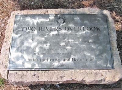
5. Nearby Plaque
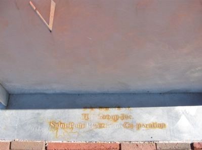
[seal of the Great River Road · Minnesota] Two Rivers Overlook · A Project of the Highland District Council · Funding Provided by Federal Highway Administration · Saint Paul STAR Program · Joseph S. and Jane Y. Micallef · Mississippi National River and Recreation Area · Saint Paul Parks and Recreation · 2003
Credits. This page was last revised on February 12, 2023. It was originally submitted on August 16, 2011, by Keith L of Wisconsin Rapids, Wisconsin. This page has been viewed 1,413 times since then and 66 times this year. Photos: 1, 2, 3, 4, 5, 6. submitted on August 16, 2011, by Keith L of Wisconsin Rapids, Wisconsin.
