Near Low Moor in Alleghany County, Virginia — The American South (Mid-Atlantic)
Oakland Grove Presbyterian Church

Photographed By Bernard Fisher, August 18, 2011
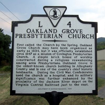
1. Oakland Grove Presbyterian Church Marker
Virginia Department of Historic Resources website entry
Click for more information.
Click for more information.
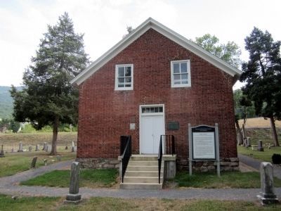
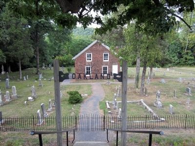
First called the Church by the Spring, Oakland Grove Church may have been organized as early as 1834, but it was officially established circa 1847 as a mission of Covington Presbyterian Church. A simple brick house of worship constructed during a religious reawakening among area Presbyterians, Oakland Grove is the oldest-known church building in Alleghany County and is one of the county's chief historic landmarks. During the Civil War, Confederates used the church as a hospital, and its military significance was further enhanced by the proximity of the Jackson River depot on the Virginia Central Railroad just to the east.
Erected 1999 by Department of Historic resources. (Marker Number L-4.)
Topics and series. This historical marker is listed in these topic lists: Churches & Religion • Railroads & Streetcars • War, US Civil. In addition, it is included in the Virginia Department of Historic Resources (DHR) series list. A significant historical year for this entry is 1834.
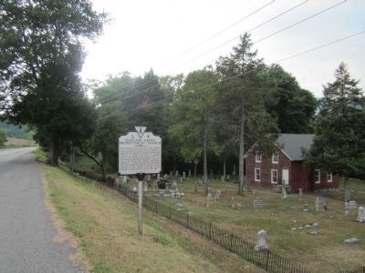
Location. 37° 48.104′ N, 79° 51.591′ W. Marker is near Low Moor, Virginia, in Alleghany County. Marker is on Selma Low Moor Road (Virginia Route 696) 0.2 miles west of Oakland Drive (Virginia Route 1002), on the right when traveling west. Touch for map. Marker is in this post office area: Clifton Forge VA 24422, United States of America. Touch for directions.
Other nearby markers. At least 8 other markers are within 3 miles of this marker, measured as the crow flies. Oakland Presbyterian Church and Cemetery (within shouting distance of this marker); Oakland Presbyterian Church (within shouting distance of this marker); a different marker also named Oakland Presbyterian Church and Cemetery (within shouting distance of this marker); Jackson River Depot (within shouting distance of this marker); C&O Railroad Shops (approx. 1.4 miles away); Low Moor Iron Company Coke Ovens (approx. 1˝ miles away); Masonic Theatre (approx. 2.2 miles away); Roger Arliner Young (approx. 2.2 miles away). Touch for a list and map of all markers in Low Moor.
Credits. This page was last revised on December 23, 2023. It was originally submitted on August 22, 2011, by Bernard Fisher of Richmond, Virginia. This page has been viewed 880 times since then and 36 times this year. Photos: 1, 2, 3, 4. submitted on August 22, 2011, by Bernard Fisher of Richmond, Virginia.


