Perryville in Boyle County, Kentucky — The American South (East South Central)
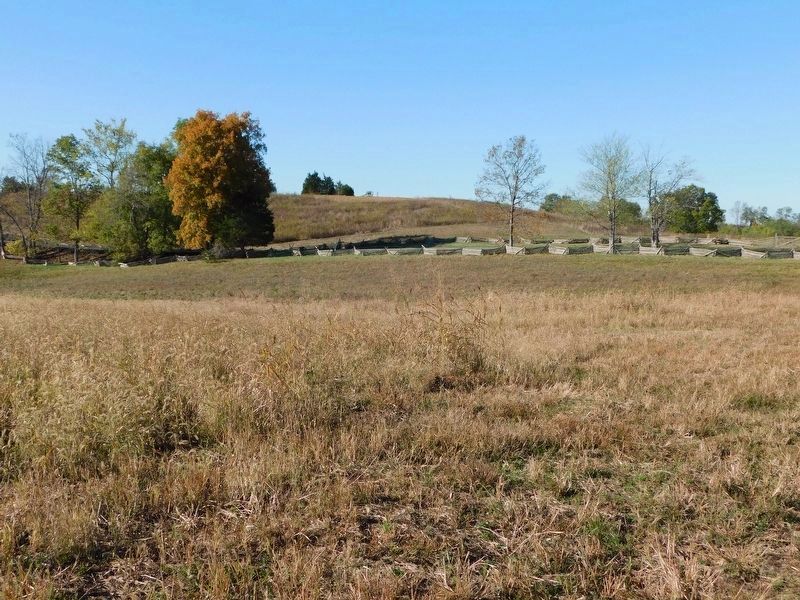
The Cornfield
Perryville • The Battle For Kentucky
— October 8, 1862 —
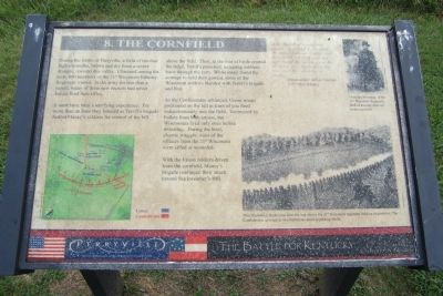
It must have been a terrifying experience. For more than an hour they listened as Terrill’s brigade battled Maney’s soldiers for control of the hill above the field. Then, as the roar of battle crested the ridge, Terrill’s panicked, retreating soldiers burst through the corn. While many found the courage to hold their ground, some of the Wisconsin soldiers blended with Terrill’s brigade and fled.
As the Confederates advanced, Union troops positioned on the hill in front of you fired indiscriminately into the field. Victimized by bullets from both armies, the Wisconsans fired only once before retreating. During the brief, chaotic struggle, most of the officers from the 21st Wisconsin were killed or wounded.
With the Union soldiers driven from the cornfield, Maney’s brigade continued their attack toward Starkweather’s Hill.
After the belt of woods was passed, we entered a cornfield, the enemy followed sharply and their bullets cut stalk and leaf and rattled the kernels from the drooping ears beside us, every now and then claiming a victim.
Union soldier Albion Tourgee
105th Ohio infantry (Marker Number 7.)
Topics. This historical marker is listed in this topic list: War, US Civil.
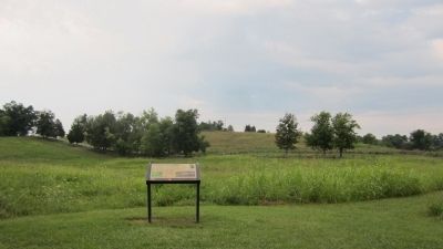
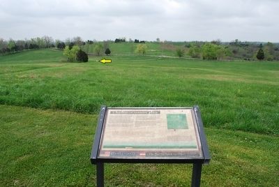
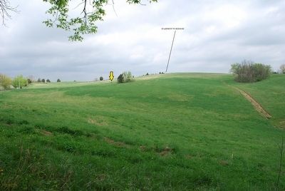
Location. 37° 40.579′ N, 84° 58.419′ W. Marker is in Perryville, Kentucky, in Boyle County. Marker can be reached from Park Road west of Battlefield Road (Kentucky Route 1920). Located in Perryville Battlefield State Historic Site at Interpretive Marker 7 on the Perryville Battlefield Trail System (Confederate Right Trail). Touch for map. Marker is at or near this postal address: 1825 Battlefield Road, Perryville KY 40468, United States of America. Touch for directions.
Other nearby markers. At least 8 other markers are within walking distance of this marker. On this Spot Brig. Gen. James S. Jackson Fell (about 400 feet away, measured in a direct line); Defense of Parsons’ Ridge (about 400 feet away); a different marker also named Defense of Parsons’ Ridge (about 400 feet away); Assault on Parsons’ Ridge (about 700 feet away); Starkweather’s Hill (about 700 feet away); a different marker also named Starkweather's Hill (about 800 feet away); Union Monument (approx. 0.2 miles away); The Battle of Perryville (approx. 0.2 miles away). Touch for a list and map of all markers in Perryville.
More about this marker. On the upper right is a photograph with the caption, “Christian Weinman, of the 21st Wisconsin Regiment died of wounds received in the cornfield.” Courtesy of Family of Christian Weinman
On the lower right is an illustration with the caption, “This illustration made soon after the war shows the 21st Wisconsin regiment holding its position. The Confederates advance in two battlelines amid exploding shells.” Library of Congress
Credits. This page was last revised on May 18, 2021. It was originally submitted on August 25, 2011, by Bernard Fisher of Richmond, Virginia. This page has been viewed 973 times since then and 30 times this year. Last updated on February 28, 2021, by Bradley Owen of Morgantown, West Virginia. Photos: 1, 2. submitted on August 25, 2011, by Bernard Fisher of Richmond, Virginia. 3, 4. submitted on September 14, 2015, by Brandon Fletcher of Chattanooga, Tennessee. 5. submitted on February 26, 2021, by Bradley Owen of Morgantown, West Virginia. 6. submitted on March 1, 2021, by Bradley Owen of Morgantown, West Virginia. • Bill Pfingsten was the editor who published this page.
