Port Orange in Volusia County, Florida — The American South (South Atlantic)
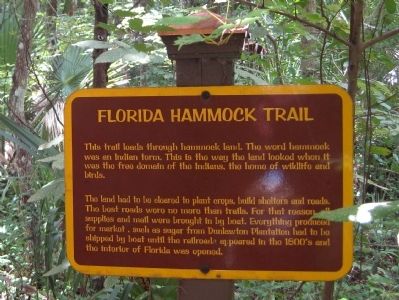
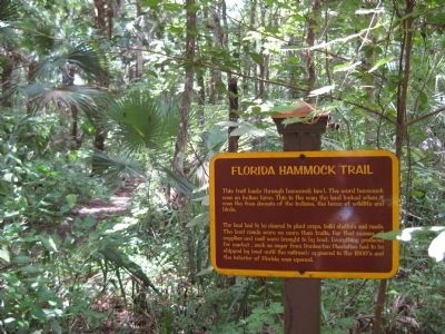
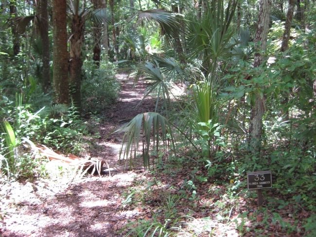
Florida Hammock Trail
The land had to be cleared to plant crops, build shelters and roads. The best roads were no more than trails. For that reason, all supplies and mail were brought in by boat. Everything produced for market, such as sugar from Dunlawton Plantation had to be shipped by boat until the railroads appeared in the 1800's and the interior of Florida was opened.
Topics. This historical marker is listed in these topic lists: Industry & Commerce • Native Americans • Railroads & Streetcars • Settlements & Settlers • Waterways & Vessels.
Location. 29° 8.503′ N, 81° 0.464′ W. Marker is in Port Orange, Florida, in Volusia County. Marker can be reached from Old Sugar Mill Road east of Herbert Street, on the left when traveling east. The marker is on the grounds of the Dunlawton Sugar Mill Botanical Gardens. Touch for map. Marker is at or near this postal address: 950 Old Sugar Mill Road, Port Orange FL 32129, United States of America. Touch for directions.
Other nearby markers. At least 8 other markers are within walking distance of this marker. Historic Sugar Cane Machinery (within shouting distance of this marker); Bongoland (within shouting distance of this marker); Destruction of Dunlawton Plantation (about 400 feet away, measured in a direct line); Emathla (King Philip) (about 600 feet away); Battle of Dunlawton Plantation (about 600 feet away); Spanish Mills and Bongoland (about 600 feet away); Dunlawton's Building Blocks (about 600 feet away); Living on the Edge (about 600 feet away). Touch for a list and map of all markers in Port Orange.
Credits. This page was last revised on June 16, 2016. It was originally submitted on August 26, 2011, by Glenn Sheffield of Tampa, Florida. This page has been viewed 586 times since then and 12 times this year. Photos: 1. submitted on August 26, 2011, by Glenn Sheffield of Tampa, Florida. 2, 3, 4. submitted on August 27, 2011, by Glenn Sheffield of Tampa, Florida. • Bill Pfingsten was the editor who published this page.


